


An Invisible Climate Threat
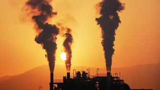
Methane is the main component of natural gas, but it is also a powerful greenhouse gas. When released into the atmosphere, it traps about 80 times more heat than carbon dioxide over a 20-year period. This makes it a significant driver of near-term global
warming. While CO2 stays in the atmosphere for centuries, methane breaks down in about a dozen years. This means that cutting methane emissions now can have a much faster impact on slowing the rate of climate change, making it a critical target for environmental action.
Ground Zero for Emissions
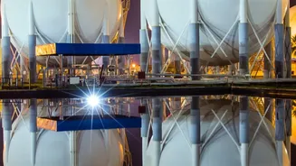
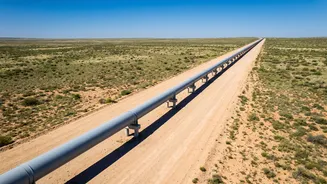
The Permian Basin, an enormous region spanning parts of West Texas and New Mexico, is the most productive oil and gas field in the United States. This intense industrial activity, involving over 130,000 active wells plus countless pipelines and processing facilities, has also made it the country's largest source of methane emissions from the energy sector. Leaks, intentional venting, and malfunctioning equipment can release huge quantities of the gas. Studies using aerial and satellite surveys have consistently found that actual emissions from the basin are significantly higher than what companies self-report to regulators, sometimes by as much as four times. A small number of large leaks, often called "super-emitters," are responsible for a disproportionately large share of the total pollution, with some single facilities leaking methane at a rate equivalent to the climate impact of half a million cars.
The All-Seeing Satellites
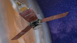
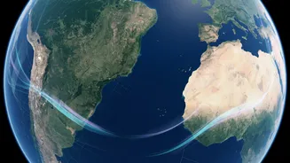
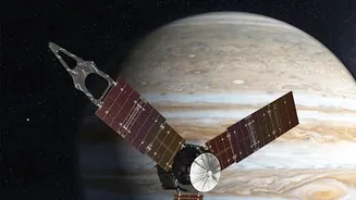
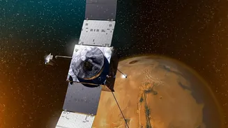
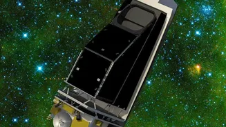
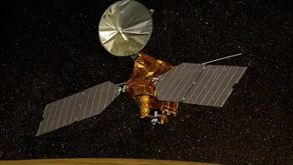
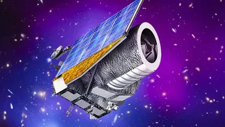
Until recently, detecting these invisible leaks across such a vast area was a major challenge. Traditional ground-based monitoring is slow and can miss intermittent leaks. The game-changer has been the deployment of a new generation of satellites, such as those operated by MethaneSAT and Carbon Mapper. These orbital instruments can scan wide areas with high precision, identifying and quantifying methane plumes with a level of detail previously impossible. They can revisit the same sites frequently, allowing researchers and regulators to distinguish between planned operational releases and persistent, unintended leaks. This technology makes the invisible visible, creating a public, data-driven record of who is emitting what, and where.
Pressure from All Sides
This new wave of transparent data is creating pressure from multiple directions. Firstly, regulators like the U.S. Environmental Protection Agency (EPA) have introduced rules aimed at cutting methane emissions from both new and existing oil and gas operations. Satellite data provides a powerful tool for enforcing these rules and identifying non-compliant operators. Secondly, investors are increasingly focused on environmental, social, and governance (ESG) factors. They are using satellite data to hold companies accountable for their climate impact and push for better performance. Finally, there's an economic incentive. Leaked methane is wasted gas that could have been sold, representing millions of dollars in lost revenue for companies. Data has shown that states with stronger regulations, like New Mexico, have significantly lower methane emission rates compared to the Texas side of the basin, demonstrating that policy drives results.
From Data to Direct Action
The continuous inspection is not just about collecting data; it's about driving action. Organizations like Carbon Mapper make their data on super-emitters publicly available, often within days of detection. This transparency allows companies to quickly identify and repair leaks, sometimes before they are even aware of them. It also allows regulators and environmental groups to focus on the worst offenders, so-called "ultra-persistent super-emitters" that leak for months or even years. By pinpointing the exact source of major leaks, satellite monitoring turns a massive, basin-wide problem into a series of specific, fixable issues at individual facilities. This accountability is forcing a systemic change in how the industry manages its infrastructure and environmental footprint.