
The Challenge in a Biodiversity Hotspot
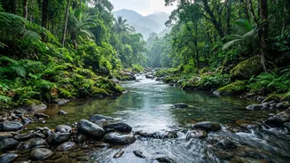
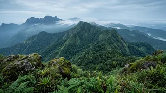
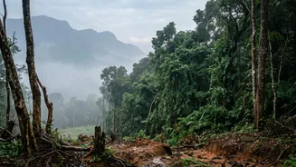
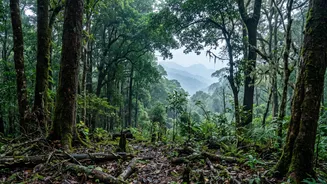
The Western Ghats, a UNESCO World Heritage Site that runs through Kerala, is teeming with life. From amphibians hiding in damp leaf litter to rare birds in the high canopy, many species are elusive, nocturnal, or live in terrain that is difficult for
humans to access. Traditional survey methods, which often rely on visual sightings and physical traps, can be time-consuming, labour-intensive, and sometimes disruptive to the very ecosystems they aim to study. Counting every animal or plant in such a dense and diverse environment is a near-impossible task. This is further complicated by threats like habitat fragmentation, climate change, and invasive species, which are putting immense pressure on native wildlife and making the need for accurate, timely data more critical than ever.
Finding Clues in Water and Air
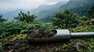
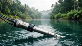
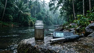
Imagine being able to know which animals live in a forest stream without ever seeing them. This is the power of Environmental DNA, or eDNA. Organisms constantly shed genetic material into their surroundings through skin, scales, faeces, and other secretions. Scientists can now collect small samples of water, soil, or even air, and analyse them for these tiny fragments of DNA. By sequencing this genetic material, they can identify a wide range of species, from fish and frogs in freshwater ecosystems to mammals and birds that have passed through an area. This non-invasive technique is a game-changer for detecting rare, shy, or endangered species that might otherwise go unnoticed, providing a rapid and comprehensive biodiversity snapshot.
Intelligent Eyes and Ears in the Forest
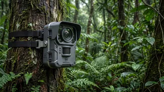
Camera traps are no longer just simple motion-triggered cameras. Today, they are often paired with artificial intelligence (AI). Researchers in Kerala are deploying smart camera traps that can automatically identify and classify animals in real-time. Instead of manually sifting through thousands of images of waving leaves, AI algorithms can pinpoint the presence of a specific animal, like an elephant or a bear, and even send live alerts to forest officials. This technology is invaluable for monitoring population densities and animal behaviour. Alongside visual data, scientists are using passive acoustic monitoring to listen to the forest's soundscape. By recording and analysing animal calls, they can track populations of birds, frogs, and nocturnal mammals that are hard to see, creating a richer, multi-sensory understanding of the ecosystem's health.
A Bird's-Eye View of Habitats
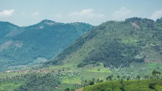
Geographic Information Systems (GIS) and remote sensing technologies like satellite imagery and drones provide a crucial top-down perspective. These tools allow scientists to map entire landscapes, monitor changes in forest cover over time, and identify areas affected by deforestation or forest fires. By layering this data with information about elevation, water sources, and vegetation types, researchers can create detailed habitat models. These models predict where vulnerable species are likely to live and how their habitats might shrink or shift due to climate change. This large-scale view is essential for strategic conservation planning, helping authorities prioritise which areas need protection and where to focus restoration efforts. In a recent initiative, the Kerala State Biodiversity Board launched a state-level Red List Assessment of Ecosystems to evaluate entire habitats, a move from species-specific to landscape-level conservation.
Citizen Scientists and AI Apps
Conservation is also becoming more collaborative. In Kerala, technology is empowering the public to become active participants. Researchers from the Malabar Botanical Garden and Institute for Plant Sciences have developed an AI-powered mobile app called 'NeophyteID'. This app allows students, residents, and forest officials to identify invasive plant species simply by taking a photo with their smartphone. The app uses image recognition to identify the plant and automatically tags the location, contributing to a real-time map of where these harmful species are spreading. This crowdsourced data is vital for managing invasive plants that threaten native ecosystems by outcompeting local flora for resources and degrading wildlife habitats.