



A Groundbreaking Partnership in Orbit
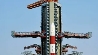
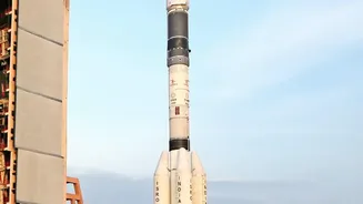
Orbiting 747 kilometres above Earth, the NASA-ISRO Synthetic Aperture Radar (NISAR) is more than just a satellite; it's a testament to the powerful space cooperation between the United States and India. Launched in July 2025, this sophisticated observatory
is the most expensive Earth-imaging satellite ever built, with a cost of around $1.5 billion. The mission is a true partnership: NASA provided the L-band radar, while ISRO contributed the S-band radar, the satellite bus, and the GSLV launch vehicle. Now in its operational phase, NISAR is systematically scanning nearly all of Earth's land and ice every 12 days, gathering a wealth of data to be shared freely with the global scientific community.
The Superpower of Dual-Frequency Radar
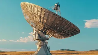
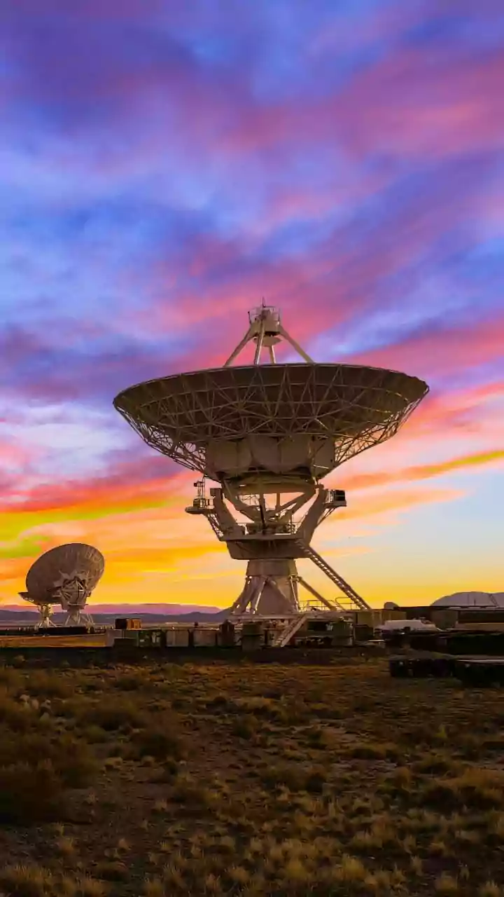
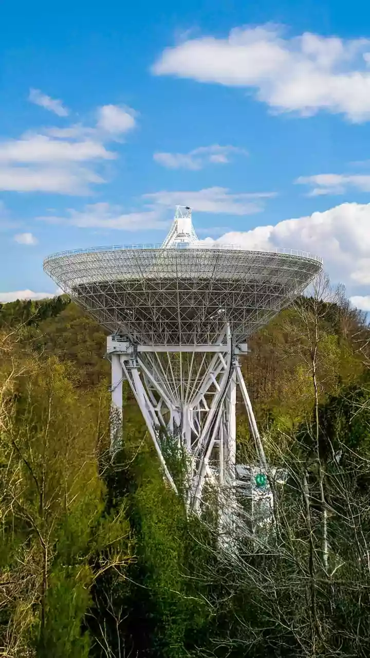
What makes NISAR a game-changer is its unique ability to see the world in two different radar frequencies. It’s the first satellite mission to combine L-band and S-band synthetic aperture radar (SAR). Think of it as having two types of vision. The L-band, with its longer wavelength, can peer through dense forests and vegetation to see the ground beneath. The S-band offers finer detail about the surface, like crop structure and soil moisture. Crucially, radar technology allows NISAR to see through clouds and operate day and night, providing an uninterrupted stream of data regardless of weather conditions—a massive advantage over optical satellites.
A Shield Against Natural Disasters
For India, with its complex and vulnerable geography, NISAR's most critical role may be in disaster management. The satellite can detect tiny changes in the Earth's surface, down to a centimetre. This incredible precision allows scientists to monitor land deformation that can signal impending earthquakes, volcanic eruptions, and landslides. By tracking ground movement before, during, and after a natural disaster, NISAR provides invaluable data for emergency response teams to assess damage and protect communities. While the satellite is providing a vast amount of data, recent events like the devastating Nepal-Tibet floods in August 2026 have highlighted the challenge of translating this data into real-time, actionable warnings.
Revolutionizing Indian Agriculture
NISAR is poised to become an indispensable tool for India's farmers. By providing high-resolution soil moisture maps every 12 days, it offers a near-real-time view of agricultural health across the country. This data, available at a 100-metre resolution, helps in everything from irrigation planning and managing drought risk to forecasting crop yields. Farmers and policymakers can use this information to make smarter decisions about water use, planting schedules, and managing crop health, ultimately bolstering India's food security. The data is systematically generated and made available to the public through ISRO's Bhoonidhi portal.
Mapping a Changing Nation
Beyond disasters and farming, NISAR provides a comprehensive, dynamic map of India's evolving environment. The mission tracks changes in forest cover, monitors the health of vital ecosystems like mangroves and wetlands, and measures the retreat of Himalayan glaciers. This information is crucial for managing natural resources, planning urban development, and understanding the long-term impacts of climate change. As the satellite continues its three-year primary mission, the continuous stream of high-resolution data will build an unprecedented record of our changing planet, offering insights that were previously impossible to obtain.