






India's Eyes in the Sky
When we look for a weather forecast, we're tapping into a vast network of data, a significant portion of which comes from space. For India, the backbone of this capability is the Indian National Satellite (INSAT) system, developed by the Indian Space
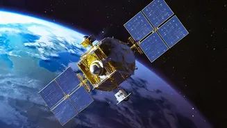
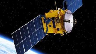
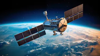
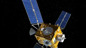
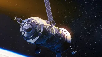
Research Organisation (ISRO). While various missions contribute to observing Earth, dedicated meteorological satellites like INSAT-3D, INSAT-3DR, and the newer INSAT-3DS are the true workhorses. These advanced sentinels are positioned in geostationary orbit, meaning they remain over the same spot on Earth, providing a constant watch over the Indian subcontinent and the surrounding oceans. This continuous monitoring is a game-changer compared to the partial snapshots provided by ground-based instruments alone. While the headline mentions EOS-05, it's important to note this is part of a different series of earth observation satellites; the core of India's daily weather forecasting relies on the proven and powerful INSAT series.
More Than Just a Picture
What do these satellites actually 'see'? It's far more than just taking a picture of the clouds. They are equipped with sophisticated instruments called imagers and sounders. An imager captures images across multiple wavelengths of light, including visible and infrared. This allows meteorologists at the India Meteorological Department (IMD) to measure critical data points like cloud top temperature, which indicates a storm's height and potential intensity, and sea surface temperature, a key factor in cyclone formation. The sounder is even more specialised. It measures temperature and humidity at different altitudes, creating a vertical profile of the atmosphere. This three-dimensional view is crucial for understanding atmospheric stability and predicting how weather systems will evolve. This stream of rich data allows for a much deeper analysis than was ever possible before the satellite era.
From Data to Your Daily Forecast
The raw data beamed down from the INSAT satellites is a torrent of numbers and readings. The magic happens when this data is processed and fed into complex Numerical Weather Prediction (NWP) models by the IMD. These are supercomputer-run simulations of the atmosphere that use the satellite data as their starting point. The more accurate and timely the initial data, the more reliable the forecast. With satellites like INSAT-3D and INSAT-3DR providing updates as frequently as every 15 minutes, these models can be constantly refined. This allows for 'nowcasting'—predicting weather in the very short term (a few hours)—which is vital for issuing alerts for events like sudden, intense thunderstorms or dense fog that can severely impact aviation and daily life.
The Life-Saving Impact of a Better Forecast
The most significant impact of India's satellite meteorology program is in the realm of disaster management. For a country with a long coastline vulnerable to cyclones, accurate prediction is a matter of life and death. Satellites can spot the formation of a low-pressure area far out in the ocean, days before it becomes a threat. Continuous tracking allows the IMD to forecast a cyclone's path and intensity with increasing accuracy, providing authorities with crucial time to plan and execute evacuations. The success in minimising casualties from major cyclones in recent years is a direct result of this improved forecasting capability. Beyond cyclones, satellite data helps in managing water resources through better monsoon predictions, issuing heatwave warnings, and even monitoring forest fires and Himalayan glacier melt.
The Future of Weather Monitoring
The journey doesn't end here. Each new satellite brings enhanced capabilities. INSAT-3DS, launched in early 2024, continues this trend with improved imaging and sounding instruments, taking over from the aging INSAT-3D. Future developments will likely focus on even higher resolution data, faster processing, and the integration of Artificial Intelligence and Machine Learning to analyse the vast datasets more effectively. Furthermore, upcoming missions like the collaborative NASA-ISRO Synthetic Aperture Radar (NISAR) satellite will provide different kinds of data, like detailed land deformation and ice-sheet changes, adding another layer to our understanding of the Earth system. While the technology is complex, the goal is simple: to provide every citizen with more accurate, timely, and actionable weather information to safeguard lives and livelihoods.