


Beyond the Basic Forecast
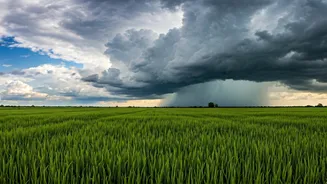
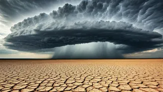
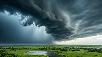
We’ve all been let down by a weather forecast that promised a sunny evening, only to be caught in a deluge. Standard forecasts predict weather patterns over large areas and timeframes, which means they can miss the highly localised and fast-moving nature
of thunderstorms. This is where live satellite and weather radar feeds change the game. Instead of telling you what *might* happen, they show you what *is* happening right now. By tracking the movement and intensity of rain clouds in real-time, you can make informed decisions—like leaving work 15 minutes early or waiting out the worst of the storm with a cup of chai.
Your Official Source: IMD Tools
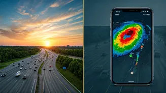
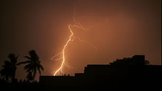
The best place to start is with the official source. The India Meteorological Department (IMD) provides a suite of powerful, free tools designed specifically for the Indian subcontinent. The 'Mausam' app offers real-time radar imagery, showing you a 2-3 hour nowcast of precipitation movement. You can see the storm system approach your location on a map. For an even more specific warning, the 'Damini' app is designed for lightning alerts. It uses a sensor network to provide GPS-based warnings for lightning strikes, telling you if you are in a high-risk zone. These government-backed tools are reliable, data-rich, and tailored to our unique weather conditions.
Powerful Third-Party Alternatives
While IMD's apps are excellent, several international apps offer slick interfaces and additional features that many users find helpful. Apps like 'Windy.com' and 'RainViewer' are popular choices. They aggregate data from multiple weather radars around the world, including those in India, to create a seamless, high-resolution map of rainfall. Their key advantage is often the user interface, which allows you to easily animate the radar loop to see the storm's trajectory and speed. You can visually track whether a storm cell is moving towards you, away from you, or is stationary. Some apps also offer push notifications for upcoming rain in your specific area.
How to Read the Weather Map
Opening a radar map for the first time can be intimidating, but it’s simpler than it looks. The key is to understand the colour code. Typically, light green and blue indicate light drizzles. As the colours shift to yellow, orange, and then red or purple, it signifies increasingly heavy rainfall. A patch of dark red moving towards your commute route is a clear signal of a heavy downpour and potential waterlogging. By observing the animated loop of the last hour, you can get a surprisingly accurate sense of where that red patch will be in the next 30-60 minutes. This is not about predicting the weather; it’s about observing its current path.
Putting It All into Practice
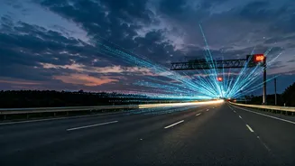
Integrating this into your daily routine is simple. Before you step out—whether from home in the morning or the office in the evening—take 30 seconds to check your preferred weather radar app. Is there a large, intense storm cell approaching? Maybe you can wait it out for 20 minutes. Does the path look clear for the next hour? You can leave with confidence. This small habit transforms your relationship with the monsoon from one of passive frustration to active planning. It’s the difference between being stranded on a waterlogged street and being safely at home, watching the rain from your window.