








The Monsoon's Treacherous Grip
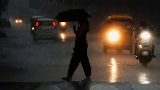
Every year, the southwest monsoon drenches the Western Ghats, a UNESCO World Heritage Site known for its fragile ecosystem. This deluge triggers a cascade of dangers. Heavy rainfall saturates the soil on its steep slopes, leading to frequent and devastating
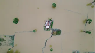
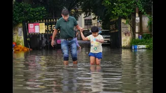
landslides. In recent years, districts in Kerala and Karnataka have witnessed multiple tragedies, with entire hillsides collapsing and claiming lives. Flash floods can turn gentle streams into raging torrents in minutes, sweeping away paths and cutting off remote villages. For trekkers and even local residents, the combination of torrential rain, dense fog, and washed-out trails can mean the difference between a scenic walk and a fight for survival. Getting lost becomes a serious probability, and conventional rescue efforts are severely hampered by the very conditions that create the emergency.
A Digital Lifeline Explained
Enter the live GPS beacon. This is not the same as the GPS on your smartphone, which primarily tells you where you are. A dedicated GPS beacon, or personal locator beacon (PLB), is a small, rugged device that actively transmits your real-time location to a satellite network. This signal can then be monitored by rescue agencies or designated contacts. Unlike a phone, which relies on cellular networks that are often non-existent in the deep valleys and dense forests of the Ghats, many modern beacons communicate directly with satellites. This means that even in the most remote locations, with no mobile signal, a person in distress can send out an SOS with their precise coordinates. This continuous, live tracking is the game-changer, turning a needle-in-a-haystack search into a targeted rescue mission.
Transforming Search and Rescue
Traditionally, finding a missing person in the Ghats during a monsoon involves large teams of personnel from the NDRF, SDRF, and local police searching on foot in perilous conditions. These operations are slow, resource-intensive, and dangerous for the rescuers themselves. A live GPS beacon transforms this dynamic. Instead of a wide, speculative search area, rescue teams get a precise location, updated in real-time. This drastically cuts down the response time—a critical factor when dealing with injuries or hypothermia. Emergency responders can navigate directly to the person's location, avoiding impassable routes and coordinating more effectively. For disaster management authorities, tracking these beacons can also provide a clearer picture of where individuals or groups are, helping to allocate resources efficiently during widespread flooding or multiple landslide events.
Beyond Trekkers: A Tool for Communities
While often associated with adventure sports, the utility of GPS beacons extends far beyond tourism. They are a vital tool for the safety of forest department officials, who patrol vast, remote territories. They offer a layer of security for researchers and scientists working in isolated parts of the Ghats. Most importantly, they can be a lifeline for residents of remote hamlets that are frequently cut off during heavy rains. By equipping community leaders or health workers in these vulnerable areas with beacons, authorities can maintain a crucial link, enabling rapid response if a village is hit by a landslide or a medical emergency occurs. It shifts disaster management from a purely reactive model to a more proactive and monitored one.
Challenges on the Path Forward
Despite their potential, the widespread adoption of GPS beacons faces hurdles. Cost can be a significant barrier for individuals and even for local administrations to distribute them widely. Furthermore, the technology is not infallible. In deep canyons or under extremely dense tree cover, satellite signals can be obstructed. Heavy rain and atmospheric conditions can also sometimes weaken the signal. Battery life is another critical consideration; the device is useless if it runs out of power. For these devices to be truly effective, there needs to be a robust, integrated system where the signals are monitored 24/7 by a central agency that can quickly dispatch local emergency services. Building this infrastructure and promoting awareness about the proper use of this technology are the next crucial steps.