




Meet NISAR: An India-US Partnership
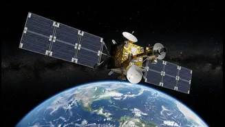
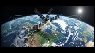
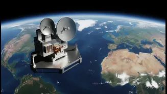
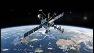
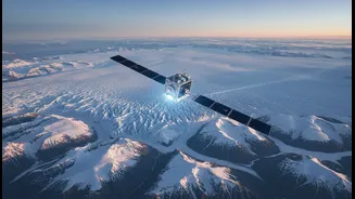
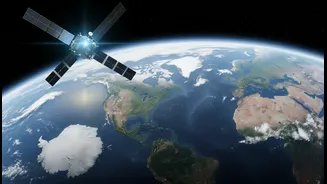
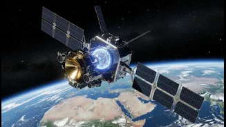
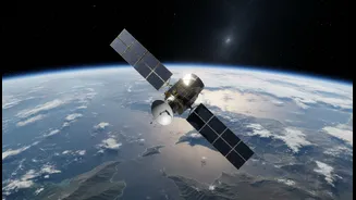
NISAR, which stands for NASA-ISRO Synthetic Aperture Radar, is a powerful Earth-observation satellite born from a landmark collaboration between the Indian Space Research Organisation (ISRO) and the U.S. National Aeronautics and Space Administration (NASA).
Launched from the Satish Dhawan Space Centre in India, this mission represents a new era in how we monitor our planet. Unlike typical satellites that rely on optical cameras, much like the one in your phone, NISAR uses a sophisticated radar system. This allows it to gather incredibly detailed images of Earth's surface regardless of weather conditions or time of day. The partnership is a testament to shared scientific goals, with NASA providing the L-band radar and other components, while ISRO contributed the S-band radar, the spacecraft itself, and the launch vehicle.
The Science of Seeing Through Clouds
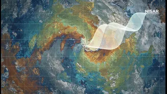
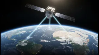
The magic behind NISAR’s all-weather capability is Synthetic Aperture Radar, or SAR. Instead of passively collecting reflected sunlight like an optical satellite, SAR is an active system. It sends out its own pulses of microwave energy towards the ground and measures the signals that bounce back. Because these microwave signals have longer wavelengths than visible light, they can easily penetrate clouds, smoke, and even dense forest canopies. NISAR is unique because it is the first satellite to use two different radar frequencies—L-band and S-band. The longer L-band wavelength can see through foliage to monitor things like forest biomass and ground deformation, while the shorter S-band is excellent for observing surface details like soil moisture and crop health. Together, they provide a comprehensive, multi-layered view of the landscape that was previously impossible to achieve.
A Game-Changer for Monsoon-Affected Regions
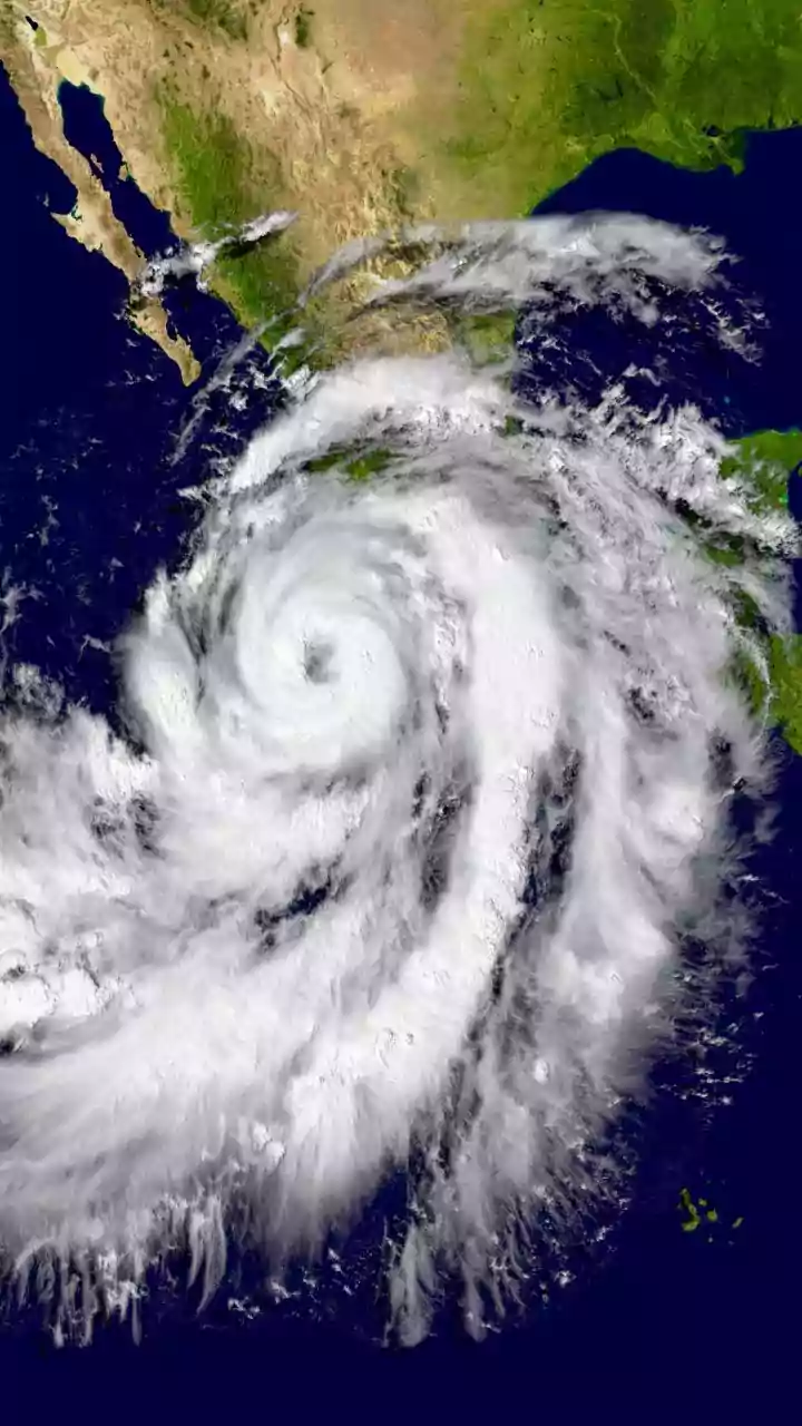
For a country like India, which experiences prolonged and intense monsoon seasons, NISAR's cloud-penetrating vision is revolutionary. The constant cloud cover from June to September has historically created significant gaps in data for everything from flood mapping to agricultural monitoring. SAR technology completely bypasses this problem, ensuring a consistent stream of information when it is often needed most. The satellite will scan nearly the entire globe every 12 days, providing a reliable and repeating set of observations. This frequency allows scientists and authorities in India to track dynamic situations in near real-time, such as the swelling of rivers during heavy rains, the early signs of landslides in the Himalayas, and the moisture levels in soil crucial for Kharif crops.
Transforming Agriculture and Disaster Management
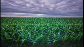
The applications for India are immense. In agriculture, NISAR provides high-resolution data on soil moisture, helping farmers optimize irrigation and improve crop yields. It can distinguish between different crop types and monitor their health throughout the growing season, empowering policymakers with accurate data for food security planning. For disaster management, the benefits are equally profound. The satellite can detect tiny changes in the Earth's surface—as small as a centimeter—which can provide early warnings for landslides, earthquakes, and volcanic activity. During floods, NISAR can precisely map the extent of inundated areas, even through thick clouds, guiding rescue and relief efforts more effectively than ever before.
A Freely Available Global Resource
One of the most significant aspects of the NISAR mission is its open data policy. All the data collected by the satellite—a staggering amount expected to be around 80 terabytes per day—will be made freely and openly available to the public, scientists, and institutions around the world. This democratisation of high-quality Earth observation data is particularly beneficial for researchers and agencies in developing nations. It means that anyone can access this cutting-edge information to study climate change, manage natural resources, and develop innovative applications. For India, it provides an invaluable tool to better understand its dynamic landscape, protect its population, and build a more resilient future.