



A Coast Under Pressure
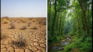
From the fishing villages of Kerala to the bustling ports of Gujarat, millions of Indians depend on the coast for their livelihoods. This vital region is facing unprecedented challenges. Recent reports warn of escalating climate risks, with projections
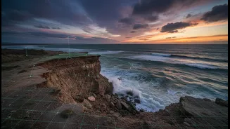
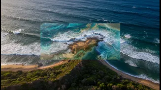
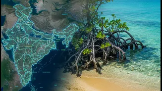
showing rising sea levels, more intense cyclones, and worrying patterns of coastal erosion. Studies indicate that about a third of India's coastline is already experiencing erosion, threatening homes, infrastructure, and natural buffers like mangroves. Unplanned development and pollution add another layer of stress to these fragile ecosystems. The problem for decision-makers—from government planners to individual fishermen—has often been a lack of timely, localized, and actionable data to navigate these complex and fast-changing conditions.
The High-Tech Watchtower
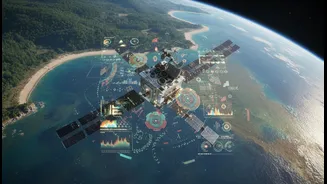
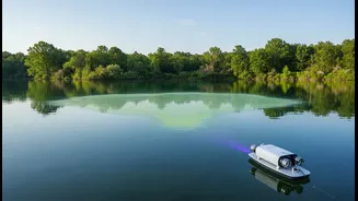
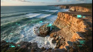
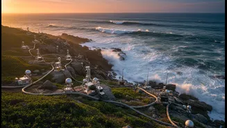
Enter the new era of coastal monitoring, led by institutions like the Indian National Centre for Ocean Information Services (INCOIS). Scientists are now deploying a sophisticated arsenal of technologies to create a comprehensive, real-time picture of the ocean. This includes a network of advanced data buoys that record wave height, sea temperature, and current speeds, transmitting data every second via satellite. These are complemented by satellite remote sensing, which tracks everything from shoreline changes to water quality. At the heart of this effort are powerful computer models that ingest this vast amount of data to generate detailed Ocean State Forecasts (OSF) for up to ten days in advance. This suite of tools provides a much clearer view of what's happening beneath the waves and what's coming towards the shore.
From Data to Better Decisions
Raw data is one thing; turning it into better decisions is the crucial next step. For coastal authorities, detailed forecasts on wave patterns and storm surges can inform where and how to build resilient infrastructure and when to issue evacuation warnings. For the Indian Navy and Coast Guard, accurate information on sea conditions is vital for planning safe and efficient operations. But the impact is perhaps most profound for the fishing community. By translating complex ocean data into practical advice, scientists are directly impacting lives and livelihoods. Services like Potential Fishing Zone (PFZ) advisories guide fishermen to areas with likely fish aggregation, saving them valuable time and fuel while increasing their catch.
Putting Power in People's Hands
The final, critical piece of the puzzle is getting this information to the people who need it most, in a format they can use. This is where mobile technology plays a transformative role. INCOIS has developed the SAMUDRA mobile app, a cutting-edge tool that puts a wealth of ocean data directly into the hands of seafarers and fishermen. The app, available in English and several coastal languages, provides real-time alerts for tsunamis, high waves, and storm surges. It also delivers the crucial PFZ and ocean state forecasts, featuring interactive maps and charts to make complex information easy to understand. This direct line from the science lab to the smartphone empowers individuals to make safer, smarter decisions every day, whether it's a fisherman deciding if it's safe to go to sea or a coastal family preparing for an approaching storm.