


Seeing the World in a New Light
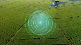
Synthetic Aperture Radar is a game-changing remote sensing technology. Unlike traditional optical satellites that need daylight and clear skies to capture images, SAR works anytime, in any weather. It actively sends out radar pulses and measures the signals
that bounce back to create incredibly detailed images of Earth's surface. This means it can see through clouds, smoke, and even darkness, providing a constant stream of information. This all-weather, day-or-night capability is invaluable for monitoring everything from crop health and urban growth to detecting illegal fishing and responding to natural disasters like floods and earthquakes.
The Data Deluge from Above
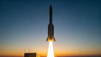
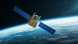
The demand for Earth observation data is exploding. Governments and companies need reliable information for climate monitoring, infrastructure management, and national security. At the same time, satellites are becoming smaller and cheaper to launch, leading to a surge in the number of SAR constellations in orbit. This has created a massive influx of data—a digital gold rush for those who know how to use it. The upcoming NASA-ISRO SAR (NISAR) mission, a landmark collaboration between the US and Indian space agencies, is set to accelerate this trend. NISAR will scan nearly the entire globe every 12 days, generating an unprecedented volume of data that will be openly available to researchers and companies.
The New Generation of Space Jobs
This flood of SAR data has created a critical need for professionals who can turn raw imagery into actionable insights. The new space race isn't just about building rockets; it's about interpreting the data they send back. This has opened up a wide range of career paths that didn't traditionally exist in the space sector. Roles like Data Scientist, Machine Learning Engineer, Geospatial Analyst, and AI Specialist are now in high demand. These experts build the algorithms and software that can automatically detect changes, identify patterns, and predict outcomes from SAR imagery. They are the bridge between complex satellite data and real-world decision-making.
Skills for the New Frontier
The skills required for these new roles are different from those of a typical aerospace engineer. Proficiency in programming languages like Python and R, experience with data analysis and machine learning libraries, and knowledge of cloud computing platforms are essential. Equally important is domain expertise. A data scientist analysing SAR images for agriculture needs to understand crop cycles, while one tracking deforestation needs a background in environmental science. This fusion of data skills and subject matter knowledge is what makes these careers so dynamic. It's no longer just about knowing space; it's about knowing how to apply space-based data to solve problems on Earth.
India's Expanding Role
India is rapidly becoming a major player in the global SAR landscape. Beyond the prestigious NISAR mission, a vibrant ecosystem of private startups is emerging. Companies like GalaxEye, Agnikul Cosmos, and PierSight are developing their own SAR technologies, from drone-mounted systems to full satellite constellations. This private-sector push, combined with ISRO's leadership, is creating a fertile ground for job creation. Recent partnerships, like the one between Agnikul and Finnish company ICEYE to build SAR satellites in India, underscore the growing opportunities within the country for a skilled workforce ready to tackle the challenges of Earth observation.