


The Blurry Picture of the Past
For decades, weather forecasting in India has relied on a network of ground-based rain gauges and older-generation satellites. Rain gauges are incredibly accurate but only for their exact location. A city might have dozens, but this still leaves vast
gaps in between, especially in sprawling urban landscapes. Early satellites, on the other hand, offered a broader view but with low resolution. They primarily used infrared sensors, which essentially measure the temperature of cloud tops. While a cold, high cloud top often suggests rain, it's an indirect measurement. This method couldn't easily distinguish between a light drizzle and a torrential downpour, nor could it see the fine-grained differences in rainfall across a city. The result was often a forecast for 'heavy rain in the city', which wasn't specific enough to prevent localised flooding or help municipal authorities manage resources effectively.
A Sharper View with Microwave Vision
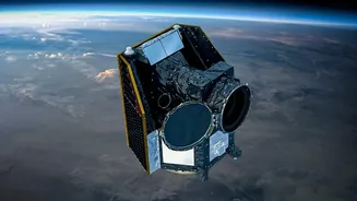
The revolution in rainfall mapping comes from advanced sensors, particularly passive microwave radiometers. Unlike infrared sensors that only see the top of a cloud, microwave sensors can 'see' through the clouds to detect the water and ice particles within. This provides a much more direct and physically sound measurement of precipitation. These sensors are typically on polar-orbiting satellites, which fly much closer to Earth than their geostationary counterparts, enabling them to capture data at a much higher spatial resolution. Modern systems, like those used by the Global Precipitation Measurement (GPM) mission, combine data from a constellation of these satellites to build a detailed global picture. This international effort, a joint mission between NASA and JAXA, has created data products with resolutions as fine as 0.1 degrees, which is roughly a 10x10 kilometre grid, with updates every 30 minutes.
From Satellite Data to Your Local Forecast
Having high-resolution data is only half the battle. This raw information must be fed into sophisticated numerical weather prediction (NWP) models. Think of it as giving a talented artist a much finer paintbrush; the detail they can produce is vastly improved. By integrating high-quality satellite observations with ground-based radar and rain gauge data, forecasters can create what's known as 'nowcasting'. Nowcasting focuses on predicting weather in the very short term, typically 0-6 hours ahead, by extrapolating the movement and development of existing weather systems. In India, the IMD is increasingly using AI-driven techniques to downscale this data even further, aiming for forecasts at a 1-kilometre resolution in pilot projects. This combines the wide coverage of satellites with the precision of AI to pinpoint which urban districts are most at risk from an impending downpour.
The Real-World Impact on Indian Cities
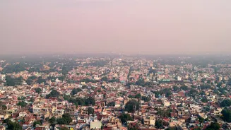
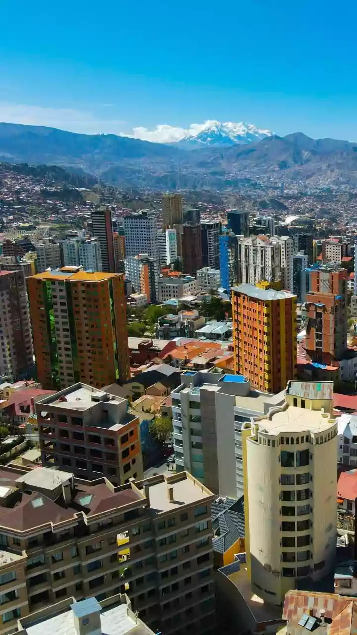
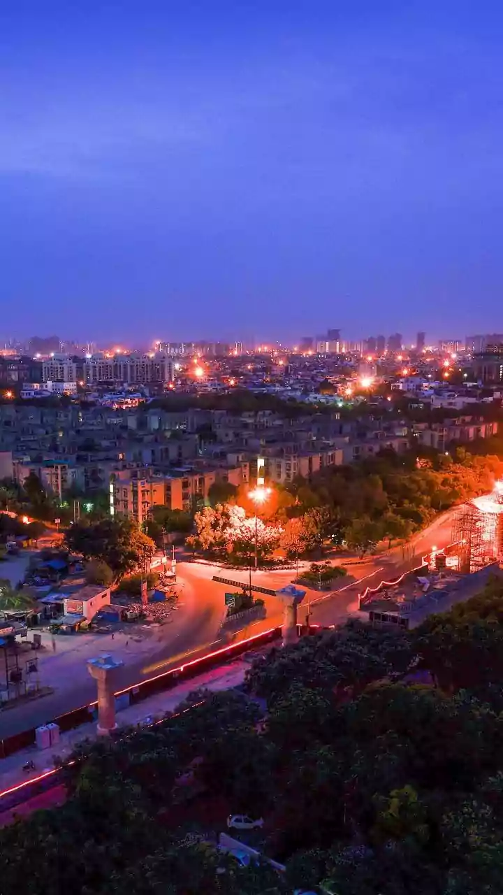
This newfound precision is a lifeline for India's rapidly growing and flood-prone urban centres. For a city like Mumbai or Bengaluru, knowing that a specific low-lying district is about to receive an intense spell of rain allows for targeted action. Emergency services can be pre-positioned, traffic can be diverted from known waterlogging hotspots, and residents in vulnerable areas can be alerted with more specific warnings. It transforms urban flood management from a reactive to a proactive exercise. Beyond immediate disaster response, this data is invaluable for long-term urban planning. Engineers can use high-resolution rainfall data to design better drainage systems, identify areas that need enhanced green infrastructure, and build more resilient cities that are better prepared for the challenges of a changing climate.