





A New Eye in the Sky
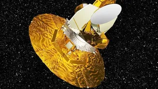
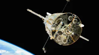
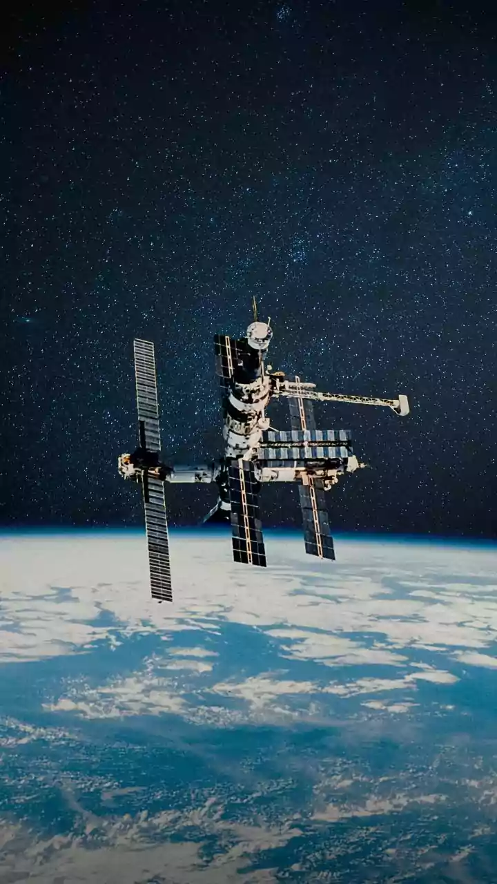
NISAR, short for NASA-ISRO Synthetic Aperture Radar, is a joint mission between the US and Indian space agencies that is changing how we see our planet. Launched in mid-2025, the satellite is equipped with advanced radar instruments that can peer through
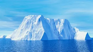
clouds, darkness, and, crucially, thick ice. Unlike optical satellites that capture images like a standard camera, NISAR sends microwave signals to the Earth's surface and analyses the echoes that bounce back. This technology, known as Synthetic Aperture Radar (SAR), can detect subtle changes in the planet’s surface, from the rise and fall of land during an earthquake to the slow, relentless movement of glaciers. Its ability to observe Earth's frozen regions, known as the cryosphere, in fine detail is providing a comprehensive picture of how ice is responding to a warming climate.
Peering Beneath the Ice
For decades, the landscape beneath Antarctica's ice has been less understood than the surface of Mars. Traditional mapping relied on sparse surveys, leaving huge gaps in our knowledge. NISAR’s radar can often penetrate snow and deep into the ice, allowing it to observe fundamentally different properties than optical satellites. As a NASA engineer put it, "With NISAR we're seeing what's hidden beneath the surface." Recent images have revealed incredible details, showing how ice flows around and over subglacial mountains and valleys. One stunning image from East Antarctica, nicknamed "the hummingbird" by scientists, shows a mountaintop poking through the ice. The stress of the ice flowing around this obstacle creates a network of deep cracks, or crevasses, which the radar renders in sharp detail, creating a shape that resembles the bird. These images are more than just beautiful; they provide crucial insights into the physics of ice movement.
The Critical Grounding Line
One of the most critical features NISAR is mapping is the grounding line. This is the precise boundary where a glacier or ice sheet lifts off the bedrock and begins to float on the ocean. Understanding the location and movement of this line is essential for predicting the stability of ice shelves. When warmer ocean water melts the ice from below, the grounding line can retreat inland. This retreat can trigger a faster flow of ice from the land into the sea, acting like a cork being removed from a bottle. Scientists use a technique called Differential Interferometric SAR (DInSAR) to detect the subtle flex of the ice as tides rise and fall, which pinpoints the grounding line with incredible precision. The regular, high-resolution mapping provided by NISAR will allow for unprecedented monitoring of these vulnerable zones, which are key to forecasting ice sheet collapse.
Why This Hidden World Matters
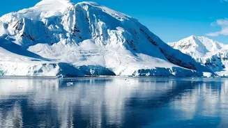
Mapping Antarctica's hidden landscape is not just an academic exercise. The Antarctic Ice Sheet holds enough frozen water to raise global sea levels by nearly 60 metres. Understanding how, where, and how quickly this ice might melt is one of the most urgent questions in climate science. The shape of the bedrock beneath the ice plays a huge role; rough, mountainous terrain can slow down glaciers, while smooth, downward-sloping basins can accelerate them toward the sea. By providing highly detailed maps of this subglacial topography and tracking changes in ice flow over time, NISAR gives scientists the data they need to build far more accurate models of future sea-level rise. This information is vital for coastal communities around the world, including in India, to prepare for the impacts of a changing climate.