


A Global Treasure Under Pressure
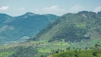
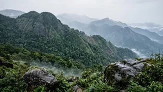
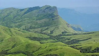
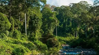
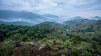
Stretching along India's western coast, the Western Ghats are older than the Himalayas and one of the world's most important biodiversity hotspots. The section running through Kerala is particularly rich, home to thousands of species of plants and animals,
many of which are found nowhere else on Earth. These mountains are not just a sanctuary for wildlife like the Nilgiri tahr and lion-tailed macaque; they are the source of the region's major rivers and play a critical role in regulating southern India's climate. However, this ecological paradise is under severe strain from human activity. Increasing urbanisation, the expansion of plantations for agriculture, illegal mining, and infrastructure projects are fragmenting these once-contiguous forests, creating isolated pockets of habitat where species struggle to survive.
The New High-Tech Conservation Toolkit
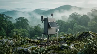
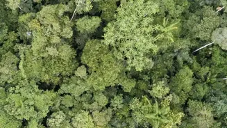
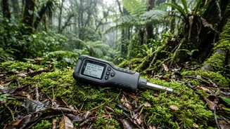
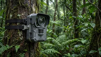
To counter these threats, scientists are moving beyond traditional survey methods and embracing cutting-edge technology to create a detailed, real-time picture of the ecosystem's health. One of the most powerful tools is geospatial mapping, using satellite imagery and Geographic Information Systems (GIS) to monitor changes in land use over time. This allows researchers to see precisely where forests are shrinking and habitats are being degraded. Another innovative technique is acoustic monitoring, where sound recorders placed in the forest capture the calls of birds, frogs, and insects. By analysing these soundscapes, scientists can track the presence and health of various species without direct observation. Similarly, camera traps provide invaluable data on the movement of elusive mammals. Even more advanced, researchers are now using environmental DNA (eDNA), which involves analysing traces of genetic material left behind by animals in soil or water, to detect species that are rarely seen.
From Data Points to Risk Maps
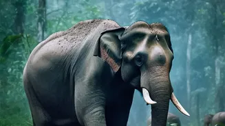
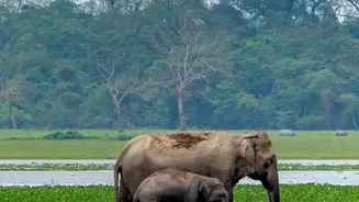
Collecting this vast amount of data is just the first step. The real breakthrough comes from how it's analysed. Using sophisticated computer models and artificial intelligence, scientists can integrate these different data streams—from satellite photos to animal sounds—to create comprehensive 'habitat risk maps'. These maps highlight specific areas that are most vulnerable to threats like deforestation, landslides, or the spread of invasive species. For instance, a recent project in Kerala uses the IUCN's Red List of Ecosystems framework to scientifically assess the risk of collapse for specific habitats like Myristica swamps and Shola-grassland mosaics. This detailed analysis helps authorities pinpoint where conservation efforts are most urgently needed. Another AI-driven system is being deployed to mitigate human-wildlife conflict, using cameras and acoustic deterrents to keep animals like elephants safely within forest boundaries.
Community Knowledge Meets Modern Science
Technology alone cannot save the Ghats. Conservation is most effective when it involves the people who live there. Recognizing this, scientists and government bodies are increasingly integrating traditional ecological knowledge with modern data. Kerala has been a pioneer in creating People's Biodiversity Registers (PBRs), which document local knowledge about plants, animals, and environmental changes. These registers, compiled with the participation of local communities, are now being digitised to create a dynamic, searchable database. This 'citizen science' approach is also seen in bird monitoring, where platforms like eBird allow amateur birdwatchers to contribute valuable sighting data, helping to create more accurate species distribution maps than ever before. This fusion of scientific rigour and local wisdom creates a more holistic understanding of the ecosystem and fosters a sense of shared responsibility for its protection.