





What is the Latest Forecast?
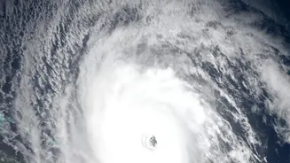
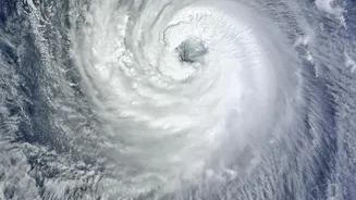
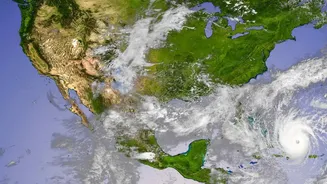
As of early morning on November 18, 2026, Cyclonic Storm Akvan was located over the west-central Bay of Bengal. The IMD forecasts that it will strengthen into a Severe Cyclonic Storm during the day. It is expected to continue moving northwest and intensify
further into a Very Severe Cyclonic Storm by the evening of November 19. The system is projected to make landfall around noon on November 20, crossing the coast between Nellore and Visakhapatnam. At the time of landfall, it is expected to have maximum sustained wind speeds of 120-130 kmph, with gusts reaching up to 145 kmph.
Understanding the Warnings
The IMD has issued an 'Orange Message' for the Andhra Pradesh and adjoining south Odisha coasts. An Orange Alert means authorities and residents should 'be prepared'. It signifies a high likelihood of severe weather that could disrupt daily life and pose a threat to life and property. This is part of a four-stage warning system that starts with a Pre-Cyclone Watch and escalates to a Cyclone Warning as the storm gets closer. Fishermen have been strongly advised to return from the sea and not venture out along and off the coasts of Andhra Pradesh, Yanam, and North Tamil Nadu.
Potential Impact on Coastal Areas
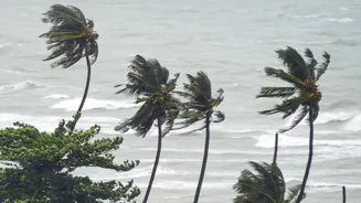
The primary threats from Cyclone Akvan are extremely heavy rainfall, gale-force winds, and a dangerous storm surge. Coastal Andhra Pradesh and Yanam can expect heavy to very heavy rainfall, with isolated extremely heavy spells (over 21 cm), on November 19 and 20. A storm surge of up to 1.2 meters above the normal tide is expected to inundate low-lying areas of several Andhra Pradesh districts, including Prakasam, Krishna, West Godavari, and Visakhapatnam, during landfall. These conditions can lead to widespread flooding, damage to homes, uprooting of trees, and disruption of power and communication lines.
Who Is Most at Risk?
Residents in low-lying coastal areas of Andhra Pradesh and Yanam are particularly vulnerable to the effects of storm surge and flooding. Those living in 'kutcha' or non-permanent houses are at high risk from the destructive force of the winds. The IMD's warnings are especially critical for the fishing communities who are directly impacted by the phenomenal sea conditions, where waves could reach heights of 9 to 14 meters. Besides the coastal regions, parts of south Odisha are also expected to receive heavy rainfall, and state authorities there have begun taking precautionary measures.
Essential Safety Measures
It is crucial for residents in the affected areas to follow all instructions from local authorities. Keep an emergency kit ready with essentials like drinking water, non-perishable food, batteries, a torch, first aid supplies, and any necessary medications. Secure your home by boarding up windows and clearing your yard of any loose objects that could become projectiles in high winds. Stay indoors and away from windows during the storm. Do not go outside even if there is a lull, as this could be the eye of the storm passing over. Keep mobile phones charged and monitor official updates from the IMD and disaster management agencies.
Official Response and Helplines
State and National Disaster Response Force (NDRF) teams are typically pre-positioned in vulnerable districts ahead of a cyclone's landfall. Local administrations are preparing evacuation plans and setting up cyclone shelters. Power distribution companies are also on high alert, with teams ready for restoration work once it is safe. For any emergency, you can call the national emergency helpline number 112, or the state and district disaster control room numbers, which are 1070 and 1077, respectively, in most states. It is vital to rely only on official sources for information to avoid rumors.