



The Planetary Data Deluge
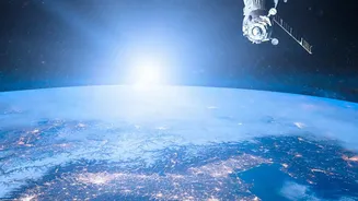
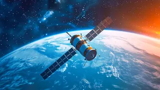
Every day, a global fleet of satellites, ocean buoys, and weather stations beams down a staggering amount of information about our planet's health. NASA's archives are expected to swell to over 600 petabytes by the early 2030s. This data is a goldmine
for understanding climate change, but its sheer volume presents a paradox: we have more information than we can effectively analyze. For scientists, sifting through this digital mountain to find meaningful patterns is like trying to hear a whisper in a hurricane. Traditional methods are too slow and labour-intensive to keep pace, creating a gap between data collection and actionable insight.
Enter the AI 'Foundation Model'
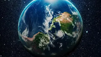
To solve this problem, NASA has turned to a new generation of artificial intelligence. In collaboration with partners like IBM, the agency is developing what are known as 'foundation models' for Earth science. Think of them not as single-purpose tools, but as broad, foundational platforms, similar to the large language models that power conversational AI. These models are trained on decades of historical climate data from NASA's archives, allowing them to learn the fundamental physics of Earth's systems. The most prominent of these is the Prithvi family of models, whose name is derived from the Sanskrit word for Earth.
What Makes This AI 'Smarter'?
Unlike previous AI, which was often designed for one specific task, these foundation models are incredibly versatile. Once trained on the massive base dataset, they can be quickly 'fine-tuned' with a smaller amount of new data to tackle a wide array of specific problems. For example, the same underlying model can be adapted to identify burn scars from wildfires, map floodwaters, track melting glaciers, or improve the accuracy of hurricane track forecasts. This 'Swiss Army Knife' approach means scientists can develop and deploy new applications much faster, without having to build a new AI from scratch each time. This flexibility allows the AI to move from global analysis to regional and local predictions with unprecedented speed.
From Pixels to Predictions
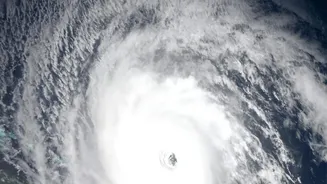
The real-world impact is profound. These AI systems can now do things that were once the realm of science fiction. They can enhance low-resolution satellite images to provide detailed local forecasts, a process called downscaling. This could mean more precise warnings for farmers about an impending drought or for city planners about a potential flash flood. In experiments, one of NASA's foundation models was able to accurately reconstruct a map of global temperatures even when 95% of the input data was blacked out, demonstrating its powerful ability to understand underlying atmospheric patterns. This leads to more accurate and faster predictions for extreme weather events, helping communities prepare, respond, and mitigate damage.
Why This Matters For India
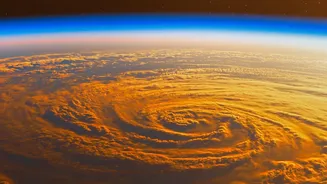
For a nation like India, which is acutely vulnerable to the impacts of climate change, this technology is not just an academic exercise. Better, more localised predictions for the monsoon are critical for the livelihoods of millions of farmers. More accurate tracking of cyclones in the Bay of Bengal and Arabian Sea can save countless lives through timely evacuations. Furthermore, AI-powered systems can help manage vital and strained resources, from monitoring Himalayan glaciers that feed major rivers to optimizing the distribution of water during heatwaves. As these open-source AI models become more accessible, they empower Indian scientists and agencies to develop tailored solutions for the country's unique environmental challenges.