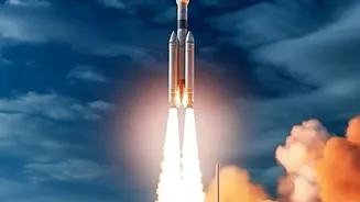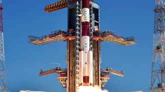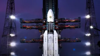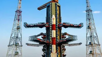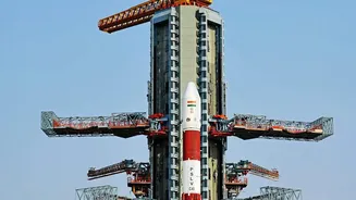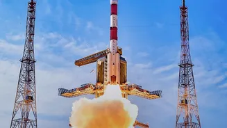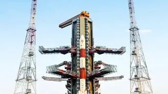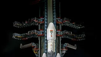


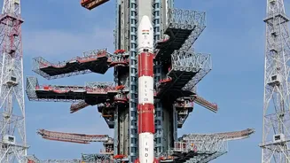
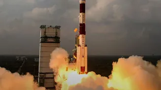
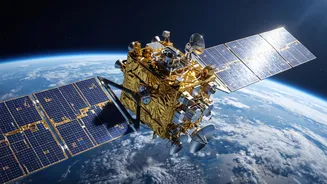
India is boosting its self-reliance in space with a critical mission. The GSLV-F18 rocket launched the NVS-03 satellite, a key piece of hardware designed to strengthen NavIC, our country’s very own independent navigation system.
Understanding the GSLV-F18 Mission
The Indian Space Research
Organisation (ISRO) successfully launched the GSLV-F18 rocket from the Satish Dhawan Space Centre in Sriharikota on October 30, 2026. This was the 20th flight for the Geosynchronous Satellite Launch Vehicle (GSLV). Its primary goal was to deploy the NVS-03 satellite, weighing approximately 2,250 kg, into a Geosynchronous Transfer Orbit (GTO). The powerful three-stage rocket, standing about 50 metres tall, completed its task precisely, injecting the satellite into the intended elliptical orbit roughly 18 minutes after liftoff. This initial orbit is a crucial intermediate step before the satellite performs its own manoeuvres to reach its final destination in a geosynchronous orbit.
NVS-03: The New Eye in the Sky
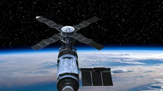
NVS-03 is the third satellite in India's second generation of navigation satellites, designed to ensure the continuity and enhancement of the NavIC system. A major upgrade in this new series is the inclusion of an indigenously developed Rubidium atomic clock. These clocks are the heart of any navigation system, providing the ultra-precise timing data needed for receivers on the ground to calculate their exact position. Failures in imported clocks on earlier satellites made developing our own a national priority. NVS-03 also transmits signals in the L1 frequency band, in addition to the existing L5 and S bands, which will improve its interoperability and make it easier for consumer devices like smartphones to use NavIC's services.
Why NavIC is Crucial for India
NavIC, which stands for Navigation with Indian Constellation, is India's answer to foreign systems like the American GPS. Developed by ISRO, it is an independent regional navigation system designed to provide accurate positioning and timing services over India and a surrounding area extending about 1,500 kilometres from our borders. The need for an independent system was highlighted during the 1999 Kargil War, which underscored the strategic risks of depending on foreign-controlled systems during conflicts. NavIC provides two types of services: a Standard Positioning Service (SPS) for all civilian users and an encrypted Restricted Service (RS) for strategic and military use. This dual-use capability is vital for national security, disaster management, transportation, and a host of commercial applications, ensuring India has sovereign control over critical navigation data.
The Journey to a Geosynchronous Orbit
Placing a satellite into a Geosynchronous Transfer Orbit (GTO) is like taking a long, elliptical on-ramp to a high altitude highway. The GSLV F18 rocket did the initial heavy lifting, placing NVS -03 into an orbit where its closest point (perigee) was about $170$ km and its farthest point (apogee) was over $37,000$ km. This orbit is temporary. Over the course of several days, ISRO's mission control will fire the satellite's own onboard engine in a series of manoeuvres. These burns will gradually raise the perigee, circularising the orbit until the satellite reaches its final geosynchronous position. In this orbit, the satellite's period matches the Earth's rotation, allowing it to appear to hang over a fixed longitude, ready to serve the Indian region continuously.