





A Tale of Two Systems
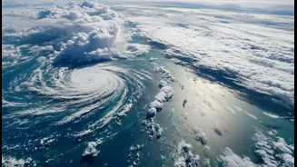
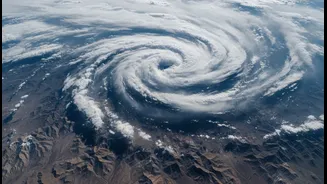
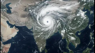
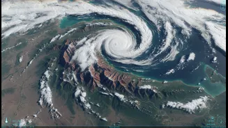
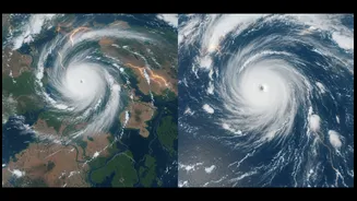
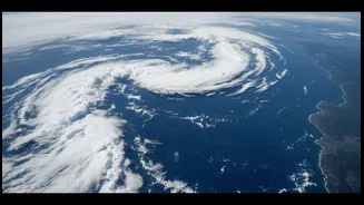
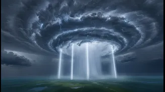
India is currently under the influence of two distinct and powerful monsoon systems, a dynamic duo shaping weather across the subcontinent. One system is churning over the Arabian Sea, acting like a massive pump that draws enormous amounts of moisture
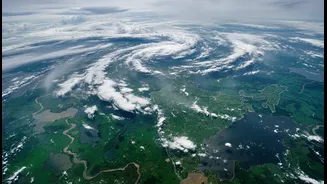
and funnels it towards the western coast, particularly impacting Maharashtra and the Konkan region with relentless rain. Simultaneously, another formidable system has taken hold over the Bay of Bengal. This one is driving towering thunderclouds across West Bengal, Odisha, and into the northeastern states, bringing intense rainfall. The simultaneous activity of these two giants, one on each of India's flanks, is responsible for the recent strengthening of the southwest monsoon after a relatively dry start in June.
ISRO's Eye in the Sky Gets an Upgrade
The unprecedented clarity in observing these weather behemoths comes from the Indian Space Research Organisation’s (ISRO) advanced meteorological satellites, particularly the INSAT series. While the reliable INSAT-3DR has been a workhorse, the recently launched INSAT-3DS is a significant upgrade. Launched in early 2024, INSAT-3DS is a follow-on mission designed for enhanced meteorological observations. These satellites are positioned in geostationary orbit, about 36,000 kilometres above Earth, allowing them to continuously monitor the Indian subcontinent. They carry sophisticated instruments like a multi-channel Imager and a Sounder, which provide a constant stream of high-resolution data on cloud formation, temperature, and atmospheric moisture.
What ‘Clearer’ Really Means for Forecasting
When we say the view is 'clearer', it's not just about a sharper picture. The new satellites, especially INSAT-3DS, provide data with better resolution and across more spectral channels. The advanced Imager can distinguish different types of clouds and their characteristics with greater precision. For instance, the latest satellite imagery shows the cloud tops in both monsoon systems as extremely cold and bright white, a clear sign of deep convection and powerful thunderstorms capable of dumping very heavy rain. The 19-channel Sounder is a game-changer, providing a vertical profile of the atmosphere's temperature and humidity. This three-dimensional view helps meteorologists at the India Meteorological Department (IMD) understand the structure and intensity of weather systems, moving beyond a simple 2D map of clouds.
From Pixels to People's Safety
This flood of high-quality data is fed directly into the IMD’s numerical weather prediction models. Better data input leads to more accurate and reliable output. The improved clarity on the structure and moisture content of the two monsoon systems allows forecasters to predict their movement and intensification with greater confidence. This directly translates into more precise forecasts for rainfall intensity, duration, and location. It's the difference between a generic warning of 'heavy rain' and a specific alert for 'extremely heavy rainfall' in a particular district within the next 12 to 24 hours. This enhanced lead time and accuracy are crucial for disaster management agencies to prepare and respond effectively, potentially saving lives and property.
The Human Impact of Better Forecasts
The benefits of this technological leap ripple through the entire economy. For India's farmers, who are critically dependent on the monsoon, more reliable short and medium-term forecasts mean better decisions on when to sow, irrigate, or harvest crops, especially after a period of deficient rainfall. For urban planners and citizens in cities like Mumbai, it means more timely warnings about potential waterlogging and transport disruption, allowing for better preparedness. It also aids in the efficient management of water reservoirs, which is vital for flood control during heavy rains and water conservation for drier periods. In essence, ISRO's clearer vision from space provides a tangible layer of resilience against the increasing volatility and intensity of India's monsoon, which is being altered by climate change.