





The All-India Average: A Statistical Illusion?
The India Meteorological Department (IMD) forecasts and tracks the monsoon against the Long Period Average (LPA), a benchmark calculated from decades of rainfall data. This gives us a single, nationwide figure—for instance, a forecast of 98% of the LPA is considered
'normal'. While useful for a high-level overview, this national average is created by combining data from thousands of rain-gauge stations across the country. The result is a number that smooths out vast differences. By its very nature, an average can hide the extremes. A deluge in one part of the country can statistically cancel out a severe dry spell in another, creating a misleading picture of normalcy.
A Tale of Two Indias
The 2026 monsoon season serves as a stark example of this paradox. While the national figure may hover around 'normal' or 'below-normal', the ground reality is a story of simultaneous, contradictory crises. In July and August, reports showed states like Gujarat and Assam battling devastating floods, inundating homes and infrastructure. At the same time, large parts of Karnataka, Bihar, and Andhra Pradesh faced significant rainfall deficits, with farmers looking to the sky for rain that never seemed to come. This phenomenon, where some regions are deluged while others are left dry, is becoming a recurring feature of India's monsoon, driven by a changing climate. Longer dry spells are now frequently punctuated by short, intense bursts of extreme rainfall, a pattern that national averages fail to capture.
The Real-World Consequences
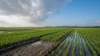
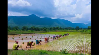
This disconnect between statistics and local weather has severe, real-world consequences. For India's 120 million farmers, the timing and distribution of rainfall are far more important than the national total. An erratic monsoon, with prolonged dry spells, can delay the sowing of critical summer crops like rice, soybean, and cotton, stressing soil moisture when it's needed most. Recent reports from 2026 show that a weak start to the monsoon has already impacted kharif sowing. Conversely, short, intense downpours can cause flash floods, waterlogging fields and destroying crops just as easily. This volatility threatens livelihoods, impacts food production, and can stoke food price inflation.
Beyond the Single Number
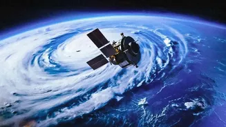
Relying solely on the all-India average is like checking only the total score of a cricket match without looking at individual performances—it doesn't tell you who actually played well. Recognizing this, there is a growing emphasis on spatial distribution—essentially, mapping where the rain actually falls. Advanced forecasting now uses Geographic Information Systems (GIS) and satellite data to create more granular, district-level predictions. For urban planners, this local data is crucial for designing better drainage and flood management systems. For farmers, localized forecasts can help in making critical decisions about when to plant and what to grow, moving away from water-intensive crops in drought-prone areas. As climate change makes weather patterns more unpredictable, this focus on local, actionable information is becoming more critical than ever.