




An All-Weather Eye on a Vanishing Treasure
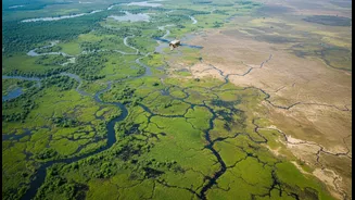
Wetlands—our lakes, marshes, mangroves, and floodplains—are often called nature’s kidneys. They filter water, recharge groundwater, buffer us from floods, store vast amounts of carbon, and provide livelihoods for millions. Despite their importance, India
faces a silent crisis of wetland degradation due to rapid urbanisation, pollution, and agricultural expansion. One of the biggest hurdles in protecting them has been the lack of consistent, accurate data. Current mapping methods often rely on optical satellites, which are blinded by the heavy cloud cover common during monsoon season—precisely when wetlands are most dynamic. This has resulted in incomplete inventories and a reactive approach to conservation. Many smaller wetlands remain unmapped, leaving them vulnerable.
Enter NISAR: The Technology That Sees Through Clouds
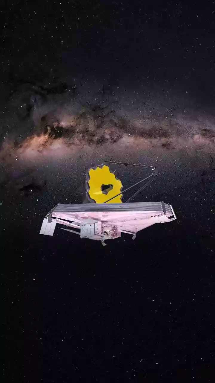
Launched as a landmark collaboration between NASA and the Indian Space Research Organisation (ISRO), NISAR is not just another satellite. It is equipped with advanced Synthetic Aperture Radar (SAR) technology that operates on two different frequencies, L-band and S-band. Unlike optical cameras that need light, radar sends its own microwave pulses to the Earth's surface and reads the signals that bounce back. This allows NISAR to create incredibly detailed images day or night, and most importantly, through clouds and dense vegetation. By scanning nearly the entire planet every 12 days, the mission will provide a consistent and dynamic view of our changing ecosystems. This constant monitoring is a game-changer for understanding environments that change rapidly with the seasons.
What Radar Reveals About Wetlands
NISAR’s dual-frequency radar is uniquely suited for studying wetlands. The longer L-band wavelength can penetrate through the canopy of flooded forests and vegetation to detect the water below. The shorter S-band is sensitive to smaller vegetation, helping to differentiate between various types of plant cover. Together, they can precisely measure changes in water levels down to a centimetre, track the boundary between water and land, and determine whether vegetation is flooded or dry. This creates a 3D understanding of a wetland’s hydrology. It can tell researchers not just if a wetland is shrinking or expanding, but how—revealing the subtle, seasonal ebb and flow that is crucial to its health. This level of detail has been nearly impossible to achieve on a large scale until now.
From Data to Actionable Insights
The wealth of data from NISAR will move wetland management from guesswork to a science-driven strategy. For the first time, authorities will have a real-time, nationwide inventory of wetlands, allowing them to monitor encroachment and pollution with unprecedented accuracy. Urban planners can use the data to understand flood risks in cities like Mumbai and Chennai, where the loss of natural wetlands has exacerbated flooding. Conservationists can identify critical habitats for migratory birds and manage restoration projects more effectively. The data will also help scientists better understand the role of wetlands in the carbon cycle, as they are one of the planet's largest natural sources of methane when flooded. By providing clear, undeniable evidence of how these ecosystems are changing, NISAR will empower policymakers to make informed decisions that integrate wetland protection into India's long-term development plans.