



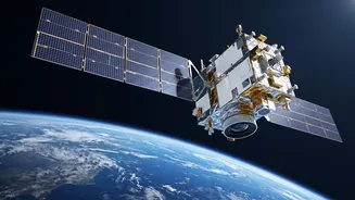


A New Sentinel in Geosynchronous Orbit
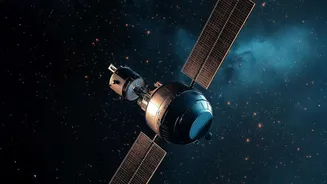
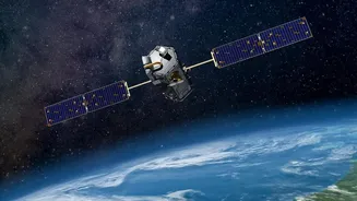
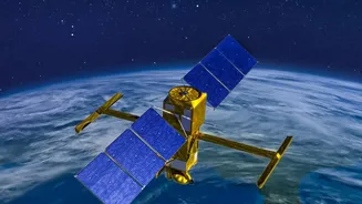
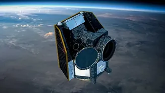
The Indian Space Research Organisation (ISRO) successfully launched the Earth Observation Satellite-05 (EOS-05) on September 4, 2026. Also known as GISAT-1A, this state-of-the-art satellite was sent into space aboard the Geosynchronous Satellite Launch
Vehicle (GSLV-F17). Unlike many Earth-imaging satellites that orbit the planet at lower altitudes, providing only brief glimpses of any given area, EOS-05 is positioned in a geosynchronous orbit nearly 36,000 kilometres above the Earth. This high-altitude perch allows it to stay locked over the Indian subcontinent, providing near-continuous surveillance of a vast region. Weighing approximately 2,367 kilograms, EOS-05 is India's first imaging satellite to operate from this type of orbit, a significant technological leap that promises to transform how the country monitors its land, borders, and weather systems.
Transforming Weather and Disaster Management
One of the primary applications of EOS-05 is to provide rapid, near real-time imagery that can be crucial for disaster management and weather tracking. Its ability to image a selected field every five minutes and the entire Indian landmass every 30 minutes under cloud-free conditions is a game-changer for monitoring the development of cyclones, floods, and other natural disasters. This constant watch will enable authorities to issue more timely and accurate warnings, allowing for better preparation and potentially saving lives. The satellite complements ISRO's existing constellation of low-earth orbit satellites, adding a persistent overhead view to the detailed, but less frequent, passes of other spacecraft. This enhanced capability is vital for a country that frequently faces extreme weather events, from monsoon floods to cyclones along its extensive coastline.
A Revolution for Indian Agriculture
For India's agricultural sector, EOS-05 represents a major technological boost. The satellite is equipped with a suite of advanced sensors, including multispectral and hyperspectral imagers. These instruments can 'see' in different wavelengths of light, allowing scientists to assess crop health, detect pest infestations, monitor soil moisture, and estimate crop yields with greater accuracy. This data is invaluable for farmers and policymakers. ISRO has long supported Indian agriculture through programs like FASAL (Forecasting Agricultural output using Space, Agrometeorology and Land-based observations) and NADAMS (National Agricultural Drought Assessment and Monitoring System). The high-resolution, high-frequency data from EOS-05 will feed into these systems, providing more precise insights for everything from planting schedules to irrigation management and crop insurance assessments.
The Technology Powering the Vision
The capabilities of EOS-05 stem from its advanced payload. The satellite carries a six-band multispectral sensor with a spatial resolution of about 42 meters, allowing it to capture detailed images of the Earth's surface. It also features a 158-band hyperspectral sensor for the visible and near-infrared spectrum and a 256-band hyperspectral sensor for the short-wave infrared spectrum. This combination of instruments allows for a sophisticated analysis of land and water resources. The mission's success is also a significant boost for ISRO's GSLV rocket program, marking a return to form after previous launch setbacks. The successful placement of such a heavy and complex satellite into a precise transfer orbit demonstrates India's maturing launch capabilities and its commitment to developing resilient and critical space infrastructure.