



India's New Watcher in the Sky
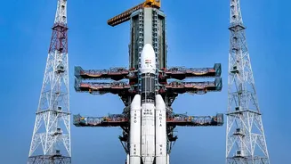
The Indian Space Research Organisation (ISRO) has consistently expanded its constellation of Earth Observation Satellites (EOS), a sophisticated network designed to monitor our planet. The latest addition, EOS-05, was successfully launched on September
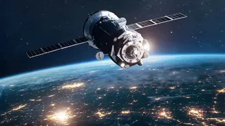
4, 2026, marking a significant milestone. Unlike many of its predecessors that circle the globe in low-Earth orbits, EOS-05 is India's first imaging satellite placed in a geosynchronous orbit, approximately 36,000 kilometres high. This unique position allows it to remain stationary over the Indian subcontinent, providing near-continuous surveillance of a vast area. This persistent watch is invaluable for tracking rapidly developing events like cyclones, floods, and forest fires, which are becoming more frequent and intense due to climate change.
A Powerful Toolkit for Climate Science
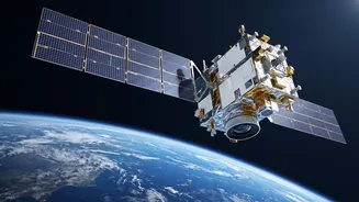
EOS-05 is equipped with advanced multispectral imagers that can observe the Earth in different wavelengths of light, much beyond what the human eye can see. This allows scientists to distinguish between vegetation, water bodies, and different types of land cover with remarkable precision. Its instruments are designed to gather a wide array of climate-relevant information, including land and sea surface temperatures, cloud properties, and changes in land use. This data stream feeds into a larger ecosystem of Indian satellites, each with specialised roles. For instance, the Oceansat series, including EOS-06 (Oceansat-3), specifically monitors ocean colour, temperature, and surface winds—all critical parameters for understanding ocean warming and its influence on monsoon patterns and cyclone formation.
From Raw Data to Real-World Action
The true power of these satellites lies in how their data is transformed into actionable insights. Scientists at key Indian institutions like the India Meteorological Department (IMD) and the Indian National Centre for Ocean Information Services (INCOIS) are the primary users of this information. When a cyclone forms in the Bay of Bengal or the Arabian Sea, the continuous stream of images and wind-speed data from satellites like the INSAT series and the EOS fleet allows forecasters to predict its path and intensity with greater accuracy. This leads to more effective early warnings, enabling timely evacuations and saving countless lives. Similarly, long-term data on sea surface temperatures and atmospheric conditions helps refine monsoon forecasts, which are the lifeblood of Indian agriculture.
Monitoring India’s Most Vulnerable Frontiers
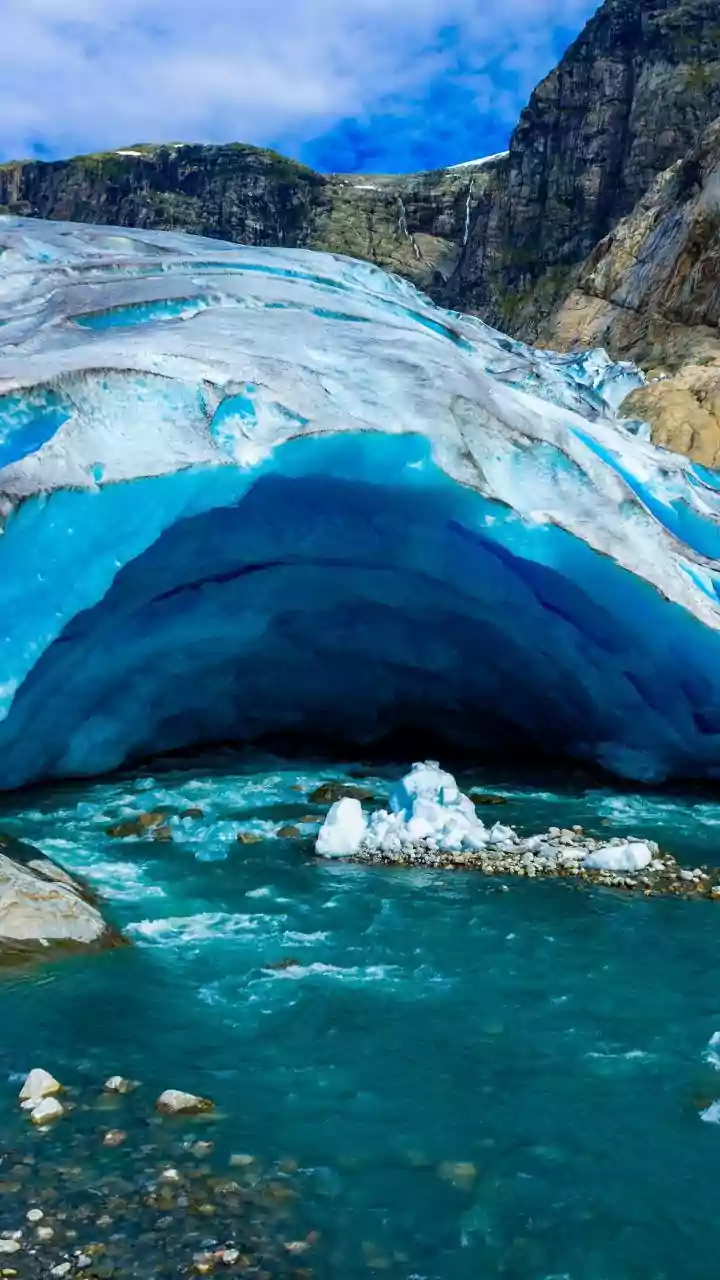
Beyond weather forecasting, Earth observation satellites play a vital role in monitoring the long-term impacts of climate change on India's fragile ecosystems. In the Himalayas, satellites like those in the Cartosat and Resourcesat series help scientists measure the alarming rate of glacial retreat and monitor the expansion of glacial lakes, which pose a risk of flash floods. Other satellites, like the radar-imaging EOS-04 (also known as RISAT-1A), have the crucial ability to see through clouds, making them essential for assessing flood damage during the monsoon season and monitoring soil moisture for agricultural planning. This all-weather capability ensures that monitoring is not interrupted by the very conditions it aims to track, providing a consistent flow of data on deforestation, urbanisation, and changes in agricultural land use.
A Collaborative Effort for a Resilient Future
While EOS-05 represents a major leap in India's sovereign capabilities, it is also part of a global scientific effort. ISRO collaborates with international space agencies like NASA, as seen in the joint NISAR mission, which is designed to provide an unprecedentedly detailed view of changes on Earth’s land and ice surfaces. By combining data from its own advanced satellites with information from global partners, India is building a comprehensive picture of how climate change is affecting the subcontinent. This scientific intelligence is fundamental not just for predicting disasters but for building long-term resilience—from designing climate-proof infrastructure and managing water resources to securing the nation's food supply for future generations.