






A Powerful New Sentinel in Orbit
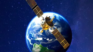
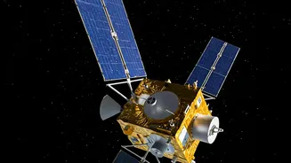
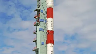
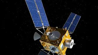
The satellite at the heart of this new capability is NISAR (NASA-ISRO Synthetic Aperture Radar), a monumental joint project between the Indian Space Research Organisation (ISRO) and its American counterpart, NASA. Launched in mid-2025, this SUV-sized
satellite is the world's most expensive Earth-imaging satellite, representing a significant leap in space-based observation technology. Unlike previous satellites, NISAR is designed to systematically scan nearly all of Earth's land and ice surfaces every 12 days, creating a rhythm of observation that can detect subtle changes with remarkable precision. This constant, reliable stream of data is what makes it so valuable for understanding and responding to natural hazards.
The Power of Seeing Through Clouds
What truly sets NISAR apart is its advanced radar technology. Traditional optical satellites are like human eyes; they are limited by clouds, dust, and darkness. This is a major drawback during events like cyclones and monsoon floods, when timely information is most critical. NISAR, however, uses two different radar frequencies, L-band and S-band, which can effectively see through these obstructions. This 'all-weather' capability means the satellite can collect crucial data day or night, rain or shine, providing an uninterrupted flow of information to disaster management agencies on the ground. It can detect changes in the Earth's surface as small as a centimetre, offering a level of detail that was previously impossible to achieve on such a large scale.
From Early Warnings to Damage Assessment
The practical applications for India are immense. For a country with a long coastline, thousands of kilometres of Himalayan terrain, and vast floodplains, the ability to monitor environmental shifts is critical. NISAR can spot the warning signs of impending disasters by detecting subtle ground deformation that might signal an earthquake or a volcanic eruption. It will provide precise information on flood inundation, even under dense forest canopies in areas like the Sundarbans, which is difficult for other satellites. In the aftermath of a disaster, it can rapidly assess the extent of damage to infrastructure and property, helping authorities plan and execute more effective rescue and relief operations. Furthermore, it can monitor glacial melt, land subsidence from groundwater extraction, and changes in vegetation, all of which are vital for long-term resilience planning.
A New Era for Indian Resilience
ISRO has long played a crucial role in disaster management, providing data from its fleet of INSAT and RISAT satellites to various agencies. However, NISAR's capabilities represent a quantum leap forward. Its 12-day repeat cycle and high-resolution, dual-band radar will provide a more consistent and detailed picture of the entire subcontinent. All data from the mission is set to be made freely and openly available, not just to government agencies but also to scientists, researchers, and the private sector. This policy is expected to spur innovation, allowing startups and research institutions to develop new applications and tools that can further enhance India's disaster preparedness, from risk assessment for insurance to grassroots monitoring of environmental changes.