





A Forest That Fights Climate Change
The Sundarbans isn't just a breathtaking ecosystem; it's a powerful tool in the fight against climate change. Mangrove forests are champions of carbon sequestration, capturing and storing carbon dioxide from the atmosphere at a rate two to four times
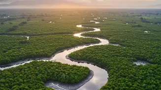
greater than mature tropical rainforests. This stored carbon, known as 'blue carbon', is primarily locked away in the soil and extensive underwater root systems. The sheer scale of the Sundarbans, straddling India and Bangladesh, makes it one of the most significant carbon sinks on the planet. Estimates suggest the Indian Sundarbans alone holds millions of tonnes of CO2, making its preservation and accurate measurement a national priority for meeting climate targets.
The Challenge of Measuring a Swamp
So, how do you count the carbon in a 10,000-square-kilometre forest of dense, inaccessible tidal swamp? The traditional method is painstaking. It involves researchers heading into the field, establishing small plots, and physically measuring trees—their diameter, height, and density. They take soil cores to analyze the rich, carbon-heavy peat below. While accurate for a small area, this approach is incredibly slow, expensive, and often dangerous in the Sundarbans, a land of tigers and shifting tides. Crucially, these manual samples can't possibly capture the full picture of such a vast and dynamic ecosystem, which is constantly changing due to erosion, cyclones, and rising sea levels.
The Eye in the Sky Solution
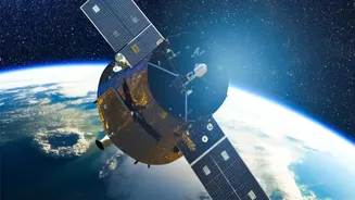
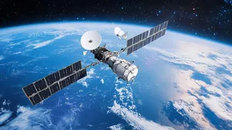
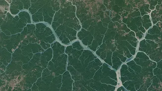
This is where high-tech satellite scans become indispensable. Technologies like LiDAR (Light Detection and Ranging) and advanced multispectral imaging are revolutionizing how we see the forest. LiDAR works like radar but with laser pulses, creating highly detailed 3D maps of the forest structure. It measures the height and density of the canopy with remarkable precision, which are key variables for estimating the amount of carbon stored in the trees (above-ground biomass). Other satellite sensors analyze light reflected from the forest, helping to determine its health, species composition, and extent. This provides a comprehensive, wall-to-wall view that is impossible to achieve from the ground.
Why It's Non-Negotiable for the Sundarbans
For a place as immense and difficult to access as the Sundarbans, remote sensing is not just a helpful tool; it's essential. Satellites can monitor the entire forest consistently, detecting changes from natural disasters or illegal deforestation in near real-time. This continuous monitoring allows for a dynamic understanding of carbon stocks, something sporadic field visits could never provide. The data helps scientists understand the impacts of increasing salinity and reduced freshwater flow, which threaten the forest's ability to store carbon. By combining high-resolution satellite data with targeted field sampling for calibration, researchers can create a highly accurate and scalable model for the entire ecosystem.
From Data to Dollars and Diplomacy
Accurate, verifiable data is the foundation of modern conservation finance and policy. To attract international funding and participate in global carbon markets, India must be able to prove the value of its natural assets. When a company or country invests in protecting the Sundarbans through carbon credits, they need assurance that the carbon they are paying for is real and accurately measured. Satellite verification provides this transparent, evidence-driven proof. This data underpins our national climate commitments, like those under the Paris Agreement, and strengthens our position in international climate negotiations, demonstrating a credible, technology-backed commitment to preserving this global treasure.