




A New Eye in the Sky
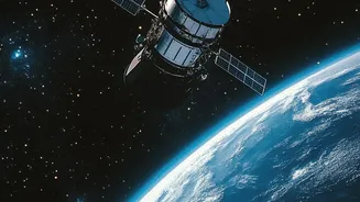
At the heart of this revolution is a mission called SWOT, which stands for Surface Water and Ocean Topography. Launched in late 2022, this satellite is a collaboration between NASA and the French space agency, CNES. Unlike previous satellites that captured
flat, two-dimensional images of floodwaters, SWOT was designed to do something groundbreaking: measure the height of water on Earth's surface. This provides a three-dimensional view of rivers, lakes, and floodplains, fundamentally changing how we monitor and predict the movement of water across landscapes.
Seeing Water in 3D
The key innovation lies in SWOT's ability to measure water surface elevation. Traditional methods rely on a network of river gauges, which measure water height at specific points along a river. However, these gauges are often spaced far apart, and many smaller rivers have no gauges at all. They also become unreliable when a river overtops its banks. SWOT overcomes this by using advanced radar technology to scan vast areas, measuring not just the extent of the water but also its height and slope. This information is crucial for hydrologists, as the slope of a river helps determine how fast water is flowing, a key variable in forecasting how quickly a flood pulse will move downstream.
More Detailed and Timely Warnings
This wealth of new data is making flood forecasts both more detailed and more timely. By feeding precise water level and slope measurements into hydrological models, scientists can predict the potential for flooding with greater accuracy. Instead of just knowing that a river will flood, models can now better forecast exactly which areas will be inundated and to what depth. This level of detail allows for more targeted evacuation warnings and more efficient deployment of emergency resources. It's the difference between telling an entire district to prepare for a flood and telling specific villages which roads will be cut off and when. The data can also help improve forecasts from hours to days in advance.
A Game-Changer for India
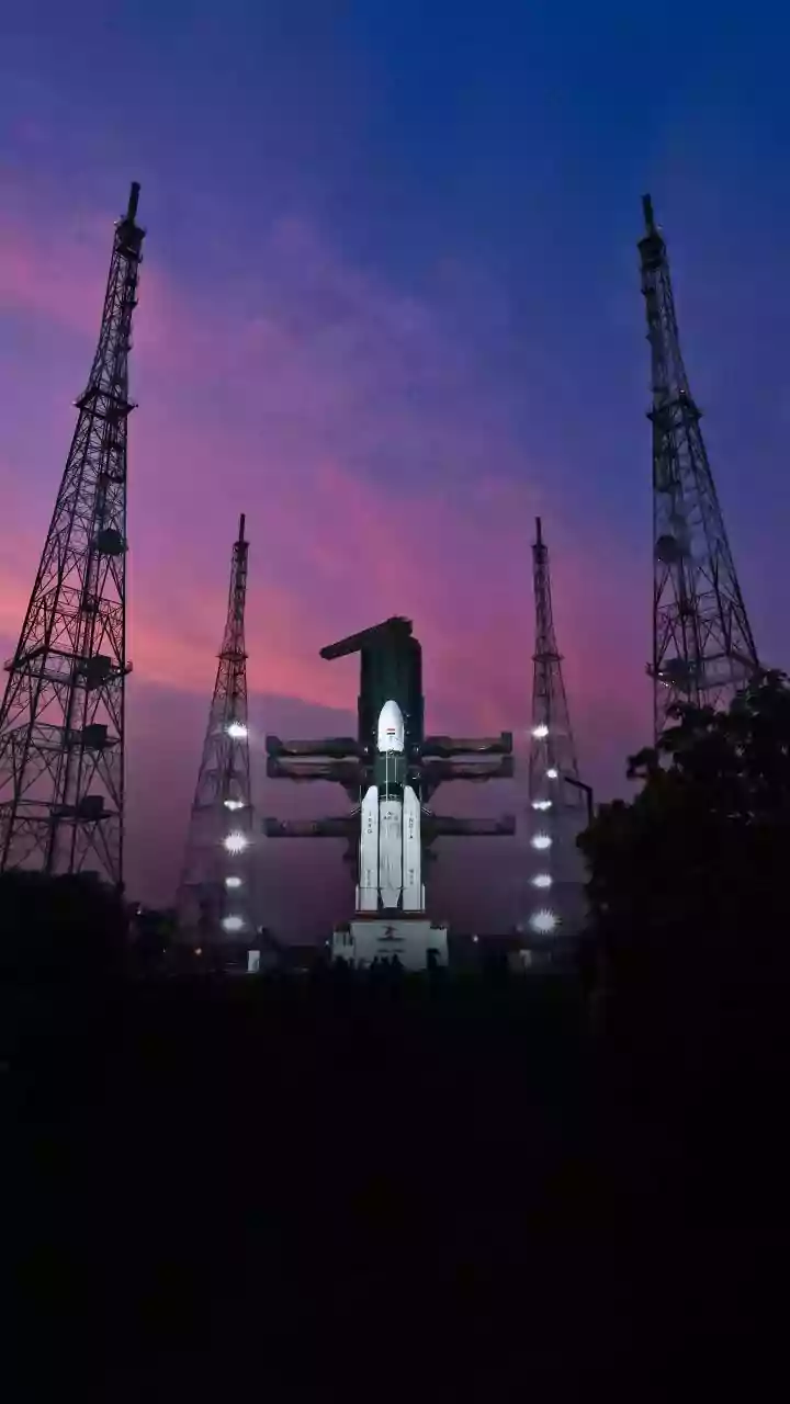
For a country as flood-prone as India, these advancements are particularly significant. India has one of the world's most extensive river networks, and more than 12% of its land is prone to flooding. Agencies like the Indian Space Research Organisation (ISRO) already use satellite data extensively for disaster management, creating flood maps and monitoring inundated areas. The addition of high-resolution, 3D water level data from missions like SWOT and data from other satellite constellations like Sentinel-1 has the potential to dramatically enhance these efforts. Researchers are already working on integrating this new data into flood-mapping tools specifically for India, which could help authorities warn communities at risk from extreme rainfall with much greater precision.
The Future of Forecasting
The integration of this new satellite data is part of a broader technological shift in disaster management. Scientists are combining remote sensing data with artificial intelligence and machine learning to create even more powerful predictive models. These AI-driven systems can analyze vast datasets from multiple sources—satellites, ground sensors, and weather models—to identify complex patterns and improve forecast accuracy. As these technologies mature, they promise a future where communities receive earlier, more reliable, and more actionable warnings, giving them precious time to prepare and mitigate the devastating impact of floods.