






A Groundbreaking Eye in the Sky
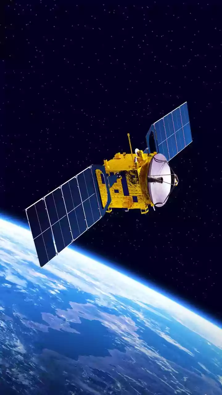
Launched in mid-2025, the NISAR satellite is a landmark collaboration between the Indian Space Research Organisation (ISRO) and the U.S. National Aeronautics and Space Administration (NASA). It is the first satellite mission to use two different radar
frequencies—L-band and S-band—to measure changes on our planet's surface with astonishing precision, capable of detecting movements as small as a centimetre. Orbiting 747 kilometres above Earth, NISAR scans nearly the entire globe every 12 days. Crucially, its advanced radar technology can see through clouds and darkness, providing an uninterrupted stream of data regardless of weather or time of day, a game-changer for monitoring dynamic environments like India's.
Seeing the Forest and the Trees
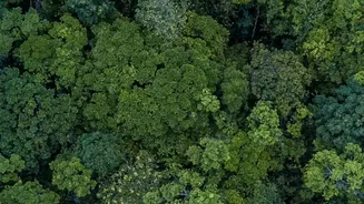
For the first time, India has access to high-resolution, all-weather mapping of its vast and diverse forest ecosystems. Unlike standard optical satellites that see a green canopy, NISAR’s dual-frequency radar acts like an X-ray. The shorter S-band waves, provided by ISRO, penetrate the upper forest canopy, while NASA's longer L-band waves can pierce through dense foliage to map the forest floor. This allows scientists to assess forest biomass, track deforestation and degradation with incredible accuracy, and even detect soil moisture and hidden waterlogged surfaces beneath the trees. This ability to differentiate between various aspects of the forest structure provides a much richer, three-dimensional understanding of forest health.
Why This Data Matters for India
This detailed mapping is not just an academic achievement; it's a vital tool for national governance. The data from NISAR will empower Indian authorities to manage natural resources more effectively. It can help in accurately measuring forest carbon stocks, a key component of climate change mitigation efforts. The satellite’s ability to monitor soil moisture and vegetation health will also be crucial for agricultural planning and ensuring food security. Furthermore, by tracking subtle changes in forest cover, the system can provide early warnings for issues like illegal logging or the beginning of forest fires, allowing for quicker responses.
Beyond Forests: A Multipurpose Sentinel
While the forest mapping is a significant milestone, NISAR's capabilities extend much further. The satellite is designed to monitor a wide array of Earth's vital signs. This includes tracking the stability of agricultural lands, the health of coastal mangroves, and the flow rates of Himalayan glaciers, which are critical to India's water supply. Its precision also makes it an invaluable tool for disaster management. NISAR can detect ground deformation that might precede earthquakes or landslides, offering a potential early warning system for vulnerable regions. It has already demonstrated its ability to measure ground sinking in cities and deformation from earthquakes elsewhere in the world.
A New Era of Environmental Stewardship
The operational success of NISAR marks the beginning of a new chapter in India's environmental monitoring. With a constant stream of high-quality data, the challenge is shifting from a lack of information to building the institutional frameworks needed to act on it. The satellite provides the sight, but turning that vision into effective on-ground action—whether in forest conservation, disaster response, or climate adaptation—is the next critical step. As India harnesses this powerful technology, it gains an unparalleled ability to protect its natural heritage and secure a more sustainable future for its citizens.