


Our Concrete Jungles Are Feeling the Strain
Climate change is making weather patterns more extreme and unpredictable. For India's rapidly growing cities, this translates into two distinct but interconnected crises: flash floods from torrential rains and life-threatening heatwaves. Recent events
across the country, from Gurugram's waterlogged highways in August 2026 to severe heatwaves in May, show how a natural hazard quickly becomes an urban disaster when infrastructure can't keep up. The problem isn't just the weather itself, but the vulnerability of our urban environments, which have often expanded without factoring in these escalating risks.
The Deluge: When Drains Can't Cope
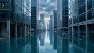
Urban flooding is now a distressingly common sight in cities like Mumbai, Delhi, and Bengaluru. The issue stems from short, high-intensity bursts of rain that overwhelm drainage systems designed for a different era. Many of these systems are decades old and were built to handle far less rainfall than what is now becoming common. For instance, Mumbai's storm drains, dating back to the 1860s, were designed for 25 mm of rain per hour but now face spells exceeding 100 mm per hour. Compounding this is rampant, unplanned urbanisation. Concrete and asphalt have replaced soil and vegetation, creating vast impervious surfaces where water cannot be absorbed. Instead, it becomes surface runoff, choking roads and low-lying areas. The widespread encroachment on and degradation of natural water bodies like lakes and wetlands has removed the natural sponges that once absorbed excess rainwater.
The Urban Oven: Trapped in a Heat Island
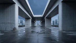
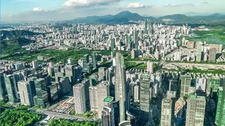
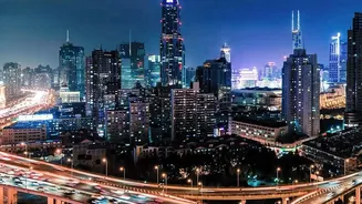
At the other extreme is the oppressive heat that turns cities into ovens. This is largely due to the 'urban heat island' effect, where dense clusters of buildings, roads, and other man-made structures absorb and retain far more heat than natural landscapes. As a result, urban centres can be 3–4°C warmer than the surrounding rural areas. This retained heat means cities don't cool down effectively at night, leading to prolonged periods of heat stress. This poses serious health risks, including heat exhaustion and heatstroke, particularly for vulnerable populations like the elderly, children, and outdoor workers. The strain on energy grids also becomes immense as the demand for air conditioning skyrockets, leading to potential power outages that can cripple a city during its most vulnerable moments.
A Cycle of Interconnected Risks
These two problems are not isolated; they often feed into each other, creating a cascade of failures. For example, a power grid failure during a heatwave can shut down the pumping stations needed to clear floodwaters after a downpour. Flooding can damage electrical infrastructure, further hampering recovery efforts. For millions of daily wage earners and small business owners, both floods and extreme heat mean lost income and damaged property, creating a cycle of economic distress. The social and economic costs are immense, impacting everything from public health and transportation to the basic functioning of the economy.
The Way Forward: Building Resilient Cities
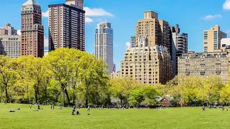
Preparing our cities requires a fundamental shift from a reactive, disaster-response approach to one that is proactive and focused on prevention. The key lies in building resilience through smarter urban planning. This includes investing in 'blue-green infrastructure'—restoring and creating wetlands, lakes, and urban forests that can act as natural drainage and cooling systems. Adopting 'Sponge City' principles, which involve using permeable materials for pavements and creating rain gardens, can help absorb stormwater where it falls. To combat extreme heat, strategies include implementing 'cool roofs' with reflective materials, increasing tree cover for shade, and ensuring new housing projects incorporate passive cooling designs. Alongside these physical changes, strengthening governance is crucial. This means having unified agencies responsible for urban planning and disaster management, updating building codes, and using modern tools like GIS-based flood-risk mapping to guide development away from vulnerable areas.