





Bengaluru's Unplanned Growth and Water Woes
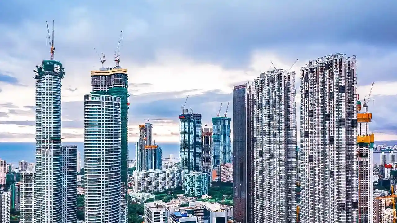
Bengaluru’s transformation into a global IT hub has come at a cost. Rapid and often unplanned urbanisation has wreaked havoc on its natural topography. The city, situated at an average elevation of over 900 metres on the Deccan Plateau, was once famed
for its interconnected network of lakes and valleys that provided a natural drainage system. However, decades of growth have seen many of these lakes encroached upon and the critical stormwater drains (rajakaluves) that connect them blocked or built over. This has drastically reduced the city's capacity to absorb rainwater, leading to severe waterlogging in low-lying areas even after short spells of heavy rain. Studies have repeatedly pointed out that this loss of interconnectivity between water bodies is a primary cause of frequent flooding.
Why Site Elevation Is Your First Defence
Recent research, including ongoing work by institutions like the Indian Institute of Science (IISc), consistently highlights a property's elevation as a key determinant of its flood risk. In simple terms, site elevation refers to how high the ground level of your plot is relative to the surrounding road, neighbourhood, and drainage channels. In a city with an undulating topography like Bengaluru, some areas are naturally in depressions or valleys. When intense rain overwhelms the compromised drainage system, water naturally flows to and collects in these low-lying spots. Properties built in these dips are the first and worst affected. Even areas at higher elevations can experience flooding if their local drains are clogged, but a fundamentally low site elevation makes a property chronically vulnerable.
How to Conduct a Basic Elevation Check
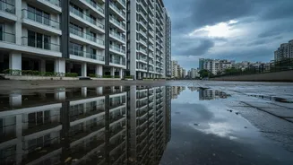
You don't need to be a surveyor to get a basic sense of your property's risk. Start with simple observation. Stand on the road and look at your property's entrance. Is the plot visibly lower than the road level? Do you have to step down to enter the compound? Look at surrounding properties; if your plot is the lowest point on the street, it's a red flag. During the rainy season, observe how water flows. Does it pool near your gate or drain away quickly? Check compound walls and building foundations for tell-tale water staining from previous floods. For a more technical check, you can explore online topographic maps or tools which show elevation data for different areas, giving you a clearer picture of your home's altitude compared to its surroundings.
A Checklist for Homebuyers and Renters
For those looking to buy or rent, flood risk due diligence is no longer optional. Real estate experts note a significant shift in buyer priorities, with flood risk becoming a top concern. Before finalising a property, assess these points: - Proximity to Water Bodies: How close is the property to a lake, tank bed, or rajakaluve? Check official buffer zone rules. - Historical Data: Use satellite imagery and search news archives to check for past flooding incidents in the locality. Ask potential neighbours directly about waterlogging issues. - Official Maps: Consult official sources like the BBMP's stormwater drain maps, or flood hazard maps from the National Disaster Management Authority (NDMA) or ISRO's Bhuvan portal. - Visual Inspection: Visit the site during or after a heavy rain shower if possible. This provides undeniable evidence of how the area copes with water.
Beyond Elevation: Other Critical Factors
While a high elevation provides a significant advantage, it isn't a complete guarantee against flooding. The health of the local drainage infrastructure is equally important. Ensure that the drains around the property are well-maintained and not clogged with waste. The overall landscaping should slope away from the building to direct water flow. Inside the property, the presence of a functioning sump pump can be a lifesaver in basement parkings. For homebuyers, it's also crucial to verify the land's zoning records to ensure it's not designated as a floodplain or valley zone where construction should have been restricted.