

A Universe of Disconnected Data
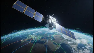
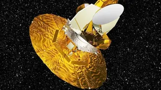
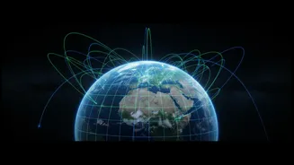
Humanity possesses an incredible visual history of our planet, captured from orbit over more than fifty years. Legacy systems, like the early Landsat satellites, have provided invaluable long-term records of environmental change. In parallel, a new generation
of commercial satellites now offers stunningly high-resolution imagery, updated daily. The problem is that these datasets rarely speak the same language. An image from 1982 and one from 2026 might have different resolutions, file formats, spectral bands, and geographic accuracies. This creates digital silos, where immensely valuable information is locked away because it can't easily be compared or combined. Trying to track deforestation or urban sprawl over decades becomes a painstaking process of trying to reconcile data that was never designed to work together, a challenge that has long limited our ability to see the big picture.
The Solution: Geospatial Data Fusion
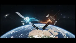
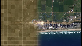
The technological bridge for this problem is a process known as geospatial data fusion. Think of it as a universal translator for satellite data. At its core, data fusion is the science of integrating information from multiple sources to create a single, unified dataset that is more accurate, complete, and useful than any of its individual parts. This isn't just about layering one map on top of another; it's a sophisticated process of harmonizing the data itself. By blending imagery from different satellites, sensor types, and even historical aerial photographs, analysts can fill in gaps, cross-verify information, and produce a much more reliable view of what’s happening on the ground. This allows researchers and businesses to finally unlock the combined power of decades of observation.
Unlocking the Past to Inform the Future
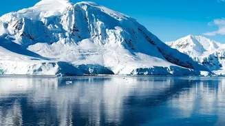
The applications of this technology are transformative. For climate scientists, data fusion makes it possible to create longer and more accurate timelines for critical metrics like sea-level rise or glacial melt. By reconciling older satellite laser measurements with modern gravity data, geodesists have already extended the observational record of ocean mass change by a full decade, providing a clearer view of long-term trends. In agriculture, fusing historical records with current imagery can lead to better crop yield predictions. For disaster response, the benefits are immediate. Emergency teams can combine real-time satellite imagery of a flood with existing infrastructure maps and ground-based sensor data to assess damage and coordinate relief efforts with far greater precision. This ability to create a comprehensive, multi-layered view turns raw data into actionable intelligence when it matters most.
A New Era of Hybrid Observation
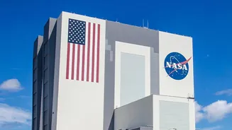
This technological shift is also driving a new business model for space observation. Government agencies like NASA are increasingly looking beyond their own multi-billion-dollar satellite missions. Through initiatives like the Commercial Satellite Data Acquisition (CSDA) program, NASA now actively purchases data from a growing fleet of commercial providers. This hybrid approach allows the agency to supplement its own high-quality, long-term datasets with agile, high-resolution imagery from the private sector, filling critical gaps at a fraction of the cost. Instead of being locked into proprietary hardware and siloed data streams, the industry is moving toward a more flexible, cloud-based model where data from public and private sources can be ingested and fused together seamlessly. This fosters innovation and makes powerful environmental intelligence more accessible to a wider range of users, from scientists to civil protection units.