


The Annual Information Blackout
Every year, as the monsoon sweeps across India, it brings a predictable wave of travel disruption. In Mumbai, local trains, the city's lifeline, inevitably run late, with commuters reporting delays of 10 to 15 minutes even on days officials claim services
are 'normal'. In cities like Pune, a few hours of rain can lead to severe waterlogging at critical junctions, bringing traffic to a standstill. Recently in Assam, heavy rainfall led to the suspension of multiple train services due to flooding and damage to railway bridges, with passengers left scrambling for alternatives. The common thread in all these scenarios is not just the water, but the frustrating lack of clear, timely, and actionable information from official sources. Stranded travellers are often left piecing together updates from social media, news snippets, and word-of-mouth, turning every journey into a gamble.
Why Official Channels Falter
The gap in communication isn't for a lack of trying, but often a result of systemic issues. Official bodies like the India Meteorological Department (IMD) issue weather alerts, and railways and traffic police have their own advisories. However, the information can be too generic or fail to reach the public in time. A key problem is the lack of coordination between different government departments. The irrigation department might release dam water, but that information doesn't always translate into a timely alert for residents downstream. Similarly, traffic police identify waterlogging-prone spots, but communication between them and municipal corporations for preemptive action isn't always seamless. This creates a situation where authorities are often in a reactive mode—managing a crisis rather than preventing one. Past events, like the Tamil Nadu floods, have shown that government agencies often only realise the importance of proactive communication when a disaster is already underway.
Decoding the Alerts You Do Get
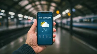
While the system is imperfect, understanding the information that is available can be crucial. The IMD uses a colour-coded system to warn of impending weather events. A Green alert means 'No Advisory,' indicating normal conditions. A Yellow alert means 'Be Aware,' suggesting a possibility of moderate rainfall that could cause localised disruptions. An Orange alert means 'Be Prepared' for intense rainfall that could disrupt transport and power. The most serious is a Red alert, which means 'Take Action' due to extremely heavy rain that poses a significant threat to life and property. Knowing what these colours mean can help you make better decisions. An Orange alert for your route might mean it's wise to work from home if possible or start your travel much earlier. A Red alert is a clear signal to avoid all non-essential travel.
Building Your Own Information Dashboard
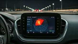
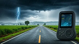
In the absence of a single, perfect source, the savvy traveller must become their own information hub. This means combining official channels with crowdsourced updates. Start with official apps like 'FloodWatch India', which provides real-time flood forecasts from hundreds of monitoring stations and data on reservoir levels. Follow the official social media accounts (especially on X, formerly Twitter) of your local traffic police, municipal corporation, and railway zones, as these are often updated more frequently than websites. Beyond officialdom, look to citizen-led traffic groups on platforms like WhatsApp and Telegram. These can provide invaluable, hyper-local updates on waterlogging and traffic jams. Waze and Google Maps also offer real-time traffic data, which can help you spot and avoid gridlocked routes. The key is to cross-reference information and not rely on a single source.
The Push for Better, Unified Systems
Ultimately, individual resourcefulness can only go so far. There is a clear and urgent need for more integrated, user-friendly official information systems. The good news is that steps are being taken in this direction. The launch and subsequent upgrade of the 'FloodWatch India' app, which now covers more monitoring stations and reservoirs, is a positive development. Some cities are also experimenting with predictive spatial analytics, using AI and real-time data to forecast congestion 30-60 minutes before it happens, allowing authorities to intervene proactively. These technologies, integrated into the Integrated Command and Control Centres (ICCCs) of Smart Cities, have the potential to transform disaster communication. However, for these systems to be truly effective, the information must be easily accessible, widely disseminated, and trusted by the public, closing the gap between having data and making it genuinely useful for the person stuck in the rain.