


A Groundbreaking Eye in the Sky
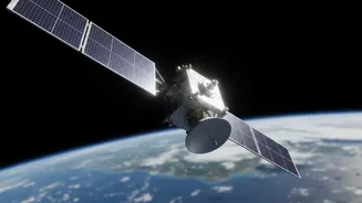
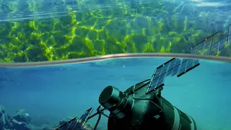
NISAR is a joint Earth-observing mission between NASA and the Indian Space Research Organisation (ISRO). Unlike satellites that take pictures using optical cameras, which are often blocked by clouds, NISAR uses a sophisticated radar system. This technology
sends microwave signals down to Earth and measures the echoes that bounce back, creating detailed images of the planet's surface regardless of weather or time of day. It is the first satellite mission to use two different radar frequencies (L-band and S-band) simultaneously, which allows it to see different aspects of the surface, from tree canopies down to the soil. After its launch in July 2025, the mission entered its science operations phase, with data becoming publicly available.
The Power of a 12-Day Repeat Cycle
What makes NISAR truly revolutionary is not just what it sees, but how often it sees it. The satellite maps nearly the entire globe every 12 days. This rapid repeat cycle transforms how scientists can study the Earth. Instead of seeing isolated snapshots of a coastline from months or years apart, they can now create a time-lapse movie of how landscapes are changing. This consistent stream of data allows for the detection of subtle, gradual changes as well as the immediate impacts of sudden events. For natural disasters, data can be made available in a matter of hours, providing critical information for urgent response efforts.
Tracking a Sinking and Shrinking Coastline
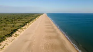
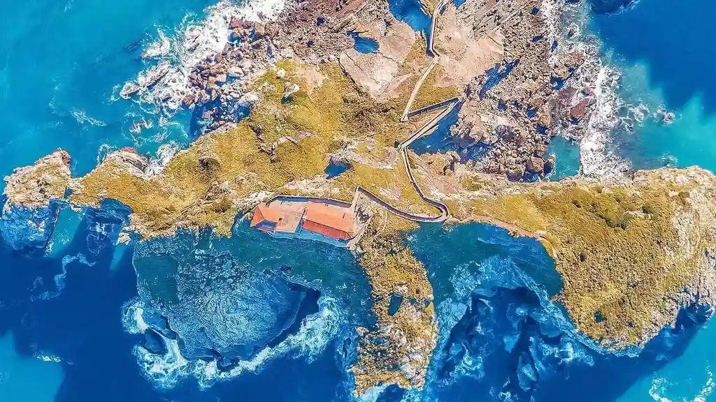
For a country like India with over 7,500 kilometres of coastline, understanding change is critical. One of NISAR’s key abilities is measuring tiny shifts in the height of the land surface, down to a centimetre. This is vital for monitoring coastal subsidence—the gradual sinking of land—which makes coastal communities far more vulnerable to sea-level rise. Scientists can use NISAR's data to pinpoint areas where the ground is sinking and by how much, offering crucial information for urban planning and infrastructure protection in coastal cities. The satellite will also monitor shoreline erosion, mapping exactly where and how quickly land is being lost to the sea.
Protecting Vital Coastal Ecosystems
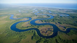
Coastal ecosystems like mangroves are the first line of defence against storm surges and erosion. NISAR's radar signals can penetrate vegetation, allowing scientists to assess the health and density of these vital habitats. They can track deforestation of mangrove forests or the degradation of coastal wetlands over time, providing early warnings that can guide conservation and restoration efforts. The mission's L-band radar is particularly adept at seeing through forest canopies to understand what is happening beneath, while the S-band is sensitive to lighter vegetation, giving a comprehensive view of ecosystem health.
A New Tool for Disaster Management
When a cyclone makes landfall or a tsunami strikes, the first few hours are critical for response teams. NISAR's ability to see through clouds means it can provide a clear picture of the aftermath, even when a storm is still raging. By comparing post-disaster images with the baseline data collected every 12 days, authorities can quickly identify the extent of flooding, infrastructure damage, and areas that have been cut off. This capability was demonstrated in early 2026 when NISAR was able to map the full extent of major flooding in Mozambique, providing clear data where optical satellites only saw clouds. This rapid damage assessment empowers faster and more effective relief efforts, helping to save lives and resources.