



A Bird's-Eye View of Disaster
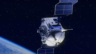
During a flood, the view from the ground is chaotic. Roads disappear, landmarks are submerged, and the true scale of the disaster is impossible to grasp. Satellites provide what ground teams cannot: a rapid, comprehensive overview of the entire affected
area. By capturing images before and during a flood, emergency managers can instantly see which areas are inundated. This information is vital for directing rescue teams, identifying stranded populations, and understanding the scope of the event without waiting for floodwaters to recede. This near-real-time mapping is the first step in a coordinated and effective response, enabling authorities to prioritize their efforts where they are needed most.
Seeing Through the Storm with Radar
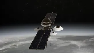
One of the biggest challenges during a flood is persistent cloud cover, which renders traditional optical satellites (like a high-powered camera) ineffective. This is where Synthetic Aperture Radar (SAR) technology becomes a game-changer. SAR satellites don't rely on visible light; instead, they send microwave pulses to the Earth's surface and measure the signal that bounces back. Calm water acts like a mirror, reflecting the radar signal away from the satellite, which makes flooded areas appear very dark in SAR images. Because these radar waves can penetrate clouds, rain, and darkness, SAR provides an uninterrupted, all-weather view of the unfolding disaster, ensuring that response teams have a clear picture regardless of conditions on the ground.
India's Eyes in the Sky
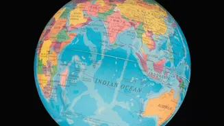
India, with its significant monsoon seasons and vast river basins, has heavily invested in space-based disaster management. The Indian Space Research Organisation (ISRO), through its National Remote Sensing Centre (NRSC) in Hyderabad, plays a pivotal role in this effort. Using a constellation of satellites, including the radar-based RISAT series, ISRO provides crucial flood inundation maps to national and state disaster management authorities. These maps are used for everything from issuing early warnings to planning long-term mitigation strategies, such as creating flood hazard zonation atlases that identify chronically flood-prone areas. This domestic capability ensures that Indian authorities have timely and tailored information to manage one of the country's most frequent natural disasters.
From Data to Life-Saving Decisions
Raw satellite images are just the beginning. The real magic happens when this data is processed and turned into actionable intelligence. Specialists analyze pre- and post-flood imagery to create detailed maps showing the extent of the water. These maps are then overlaid with other crucial information, like population density, locations of critical infrastructure such as hospitals and shelters, and transportation networks. This integrated data allows governments to not only see where the water is but also to understand its impact. It helps them predict which communities are most at risk, where to position relief supplies, and which roads are still passable for emergency vehicles. This transforms abstract data points into a powerful tool for making critical, time-sensitive decisions.
Global Cooperation for Local Impact
Major disasters often require a global response. The International Charter 'Space and Major Disasters' is a prime example of this collaboration. When a member country's disaster management agency requests assistance, space agencies from around the world coordinate their satellites to focus on the affected area, providing data free of charge. Similarly, the Copernicus Emergency Management Service (CEMS), run by the European Union, provides on-demand mapping and global flood awareness systems that are crucial for humanitarian efforts worldwide. These frameworks mean that even countries with limited satellite capabilities can access world-class geospatial information, ensuring that life-saving data gets to those who need it, wherever disaster strikes.