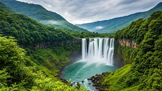


The Old Gamble vs. The New Plan
For generations, a monsoon road trip was a beautiful gamble. Will the highway to the hills be open? Is that coastal town accessible or flooded? The plan was often just to pack the car, hope for the best, and turn back if a landslide blocked the road.
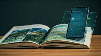
This romantic randomness had its charm, but it also led to countless cancelled plans, wasted vacation days, and genuine safety risks. Today, the game has changed. We've moved from relying on a single, often inaccurate, daily weather report to having a whole toolkit of data streams at our fingertips. Using this data doesn’t kill the spontaneity; it empowers you to be spontaneous in a smarter, safer way. It’s about replacing guesswork with informed decisions.
Go Beyond the Basic Weather App
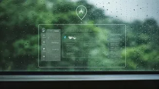
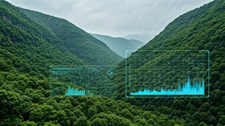
Your phone's default weather app gives you a simple icon: sun, cloud, or raindrop. For monsoon travel, this is practically useless. You need specifics. The new generation of weather-tech gives you just that. Apps like the Indian Meteorological Department’s (IMD) ‘Mausam’ or private platforms like ‘Skymet Weather’ offer hyperlocal forecasts. They provide colour-coded warnings for heavy rainfall, thunderstorms, and cyclones, often for specific districts. Even more powerfully, many now offer short-term precipitation forecasts, showing you an animated radar map of rain moving across your area for the next one to two hours. This is invaluable for deciding whether to start that trek now, wait an hour for a heavy spell to pass, or call it a day.
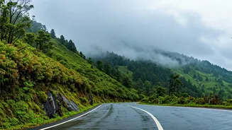
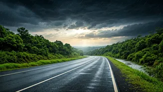
Mastering the Route with Real-Time Data
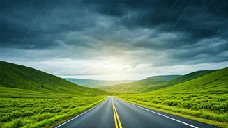
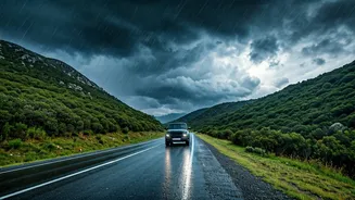
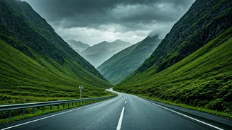
The biggest monsoon variable is often the journey, not the destination. Roads that are perfectly fine one hour can be waterlogged or blocked by a landslide the next. This is where real-time traffic and road condition data is your best friend. Google Maps is the obvious starting point; its live traffic layer (the red, orange, and green lines) is powered by anonymous data from thousands of users, giving you a good sense of jams. But don’t stop there. Before a long-distance drive through a vulnerable area, check the official Twitter handles of the state and district police. They often post real-time updates on major road closures, diversions, and accidents—information that syndicated apps might miss. The National Disaster Management Authority (NDMA) also issues advisories that can be crucial for planning.
Harnessing the Wisdom of the Crowd
Official sources are great, but sometimes the most current and specific information comes from fellow travellers. This is the power of crowd-sourced data. Before you head to a popular spot like Lonavala, Manali, or Munnar, do a quick search on social media. Check recent posts on Instagram under the location tag or relevant hashtags (#MunnarLandslide, #MumbaiPuneExpressway). You can often find photos and videos posted just minutes ago, showing you the actual ground reality. Facebook travel groups are another goldmine. Posting a question like, “Anyone driven to Coorg from Bengaluru today? How are the roads near Madikeri?” can yield dozens of real-time, first-hand accounts that no formal app can provide. This user-generated data helps you understand not just if a road is open, but what the driving experience is actually like.
Using History to Predict the Present
While real-time data helps with immediate decisions, historical data helps with the big picture. When choosing a destination, especially a lesser-known one, a little research goes a long way. Government portals and climate websites often have archived monsoon data showing rainfall patterns from previous years. You can quickly see if a particular region is prone to extreme flooding in, say, the second week of July versus the last week of August. This helps you pick a travel window that is historically safer. Similarly, for flights and hotels, using price-tracking tools like Google Flights or Skyscanner can save you a fortune. These tools use historical price data to advise whether you should book now or wait for a potential price drop, helping you navigate the volatile demand of the monsoon season.