




A Shared and Volatile Geography
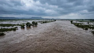
The root of the issue lies in geography. Major river systems like the Koshi, Gandak (known as Narayani in Nepal), Ghaghara, and Rapti originate in the high mountains of Nepal and Tibet. They flow steeply downhill before spreading out onto the flat, densely
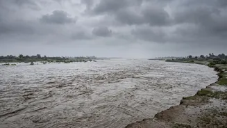
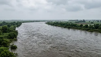
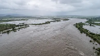
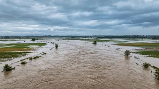
populated Gangetic plains of North India. Heavy rainfall or, as seen recently, glacial collapses in Nepal, lead to a massive volume of water surging downstream. This interconnected hydrology means a disaster upstream in Nepal inevitably becomes a crisis for downstream communities in India. This week’s flash flood in Nepal’s Bhote Koshi river, a tributary of the Gandak system, immediately raised concerns in Bihar and Uttar Pradesh.
The Rivers of Sorrow
Certain rivers are notorious for the devastation they cause. The Koshi, often called the 'Sorrow of Bihar', is a prime example. These Himalayan rivers carry immense amounts of silt and sediment eroded from the mountains. Over time, this sediment gets deposited in the plains, raising the riverbeds. A raised riverbed means the channel can hold less water, making it prone to overflowing its banks and carving new paths. The infamous 2008 breach of the Koshi embankment, for instance, occurred because the river abruptly changed its course, affecting millions in both Nepal and India.
The Gandak-Narayani Connection
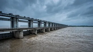
The recent alerts are sharply focused on the Gandak river. The Narayani river in Nepal flows into India where it is called the Gandak. Following the devastating floods in Nepal this week, authorities in Bihar opened all 36 gates of the Gandak Barrage at Valmikinagar as a precautionary measure to manage the expected surge of water. Similarly, Uttar Pradesh has put the districts of Maharajganj and Kushinagar on high alert, anticipating a rise in the Gandak and its tributaries. Officials estimate that a flood wave from the upper reaches in Nepal can reach the Gandak Barrage in India in a matter of hours, leaving a very small window for response.
Cooperation, Barrages, and Challenges
India and Nepal have a long history of attempting to manage these shared rivers, with agreements on projects like the Koshi and Gandak barrages dating back decades. These structures are designed for both flood control and irrigation. However, they also present challenges. The regulation of barrage gates is a critical and sensitive issue, and there are ongoing discussions about maintenance, encroachment on embankments, and managing siltation. While there are several joint committees for flood management and data sharing, the execution on the ground can be complex, sometimes leading to friction. Regular meetings aim to resolve these operational issues, especially just before the monsoon season.
Early Warnings and Constant Vigil
In the face of this annual threat, early warning is the most critical defence. India relies on hydro-meteorological data from stations in Nepal to forecast flood levels in its rivers. Real-time data on river discharge and rainfall upstream is shared between the two countries, allowing authorities in Bihar and UP to issue warnings and evacuate vulnerable populations. Following the latest floods, disaster response forces like the NDRF were put on high alert, and local administrations began evacuating people from low-lying areas as a precaution, a testament to this system of constant monitoring.