








Legends on the Seafloor
The coast of Tamil Nadu is rich with legends of submerged splendour. Most famous are the stories of Poompuhar, the celebrated port capital of the early Chola kings, and the ‘Seven Pagodas’ of Mahabalipuram, six of which are said to have been swallowed
by the ocean. For generations, these were tales passed down through Sangam literature and local folklore. However, recent underwater explorations, especially those following the 2004 tsunami which briefly exposed stone structures, have given these legends a new scientific urgency. Teams from the National Institute of Oceanography (NIO) and the Tamil Nadu State Department of Archaeology (TNSDA) are now actively investigating these waters, seeking to determine if these fabled ruins are fact or fiction.
The Technology of Seeing Sound
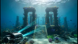
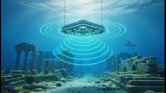
Mapping the seabed is not like looking through clear glass; coastal waters are often murky and vast. This is where advanced sonar comes in. Sonar (Sound Navigation and Ranging) works by sending out sound pulses and listening for the echoes. For marine archaeology, two key types are used: side-scan sonar and multibeam sonar. Side-scan sonar is towed like a fish behind a vessel, emitting fan-shaped beams to create a detailed, picture-like image of the seafloor’s surface. This is excellent for spotting anomalies that stand out, like walls or shaped blocks. Multibeam sonar, on the other hand, maps the ocean floor's topography in 3D, providing precise depth and shape, crucial for understanding the layout of a potential site. Together, they create a comprehensive digital picture of what lies beneath.
The Digital Dig
An underwater survey begins long before anyone gets wet. A research vessel systematically sails in a grid pattern over the target area, towing its sonar equipment. The sound waves bounce off the seabed, and the returning signals are collected and processed by powerful computers. This data is slowly stitched together to form a mosaic-like map. On this map, archaeologists look for tell-tale signs of human activity: straight lines, right angles, and geometric patterns that are unlikely to occur in nature. Sometimes, a sub-bottom profiler is also used, which sends lower-frequency sound waves that can penetrate sediment, helping to detect structures that might be buried under layers of sand and mud.
From Sonar Signal to Ancient Site
Recent surveys off the coasts of Poompuhar and Mahabalipuram have yielded promising results. In late 2025, the TNSDA, in collaboration with the Indian Maritime University, launched a major survey off Poompuhar, the first in over two decades. This initiative aims to verify earlier findings from the 1990s and expand the search. Off Mahabalipuram, explorations have identified man-made structures like walls, scattered dressed stone blocks, and what appear to be the remains of a temple complex at depths of up to 9 metres. Radiocarbon dating of materials from some of these submerged structures has suggested some could date back to the first century, pre-dating the Pallava dynasty. However, identifying sonar images is just the first step. The data reveals potential targets, which must then be visually confirmed.
Confirming the Unseen
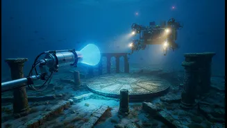
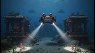
A compelling sonar image is not proof of a lost city. The next step involves physical verification. This is often done using Remotely Operated Vehicles (ROVs), which are small, unmanned submersibles equipped with high-definition cameras. The ROV can be guided to a specific anomaly on the sonar map to provide a real-time visual. If the visual evidence is strong enough, a team of trained diver-archaeologists may be sent down to inspect the site directly. They take measurements, photograph features, and may collect small samples for dating and analysis. This meticulous work transforms the ghostly shapes on a sonar screen into tangible evidence, helping to piece together the history of these ancient coastal settlements.