



A Landmark India-US Collaboration
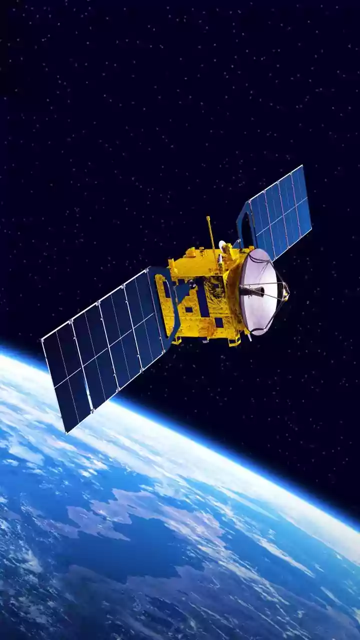
The NASA-ISRO Synthetic Aperture Radar (NISAR) mission is one of the most ambitious and significant Earth observation projects ever undertaken. Representing an equal partnership between the US and Indian space agencies, this sophisticated satellite was
launched to create an astonishingly detailed map of our planet's surface changes. Scanning nearly all of Earth's land and ice twice every 12 days, NISAR is designed to monitor everything from the movement of glaciers to the subtle ground shifts that precede earthquakes and landslides. For India, the mission is not just a point of immense national pride but also a crucial strategic asset. ISRO identified specific applications vital for the country, including monitoring agricultural biomass, tracking Himalayan glaciers, and assessing natural disaster impacts.
Seeing the Unseen with Radar
Unlike traditional satellites that rely on optical cameras and are useless in cloudy weather or at night, NISAR uses advanced radar technology. It is the first satellite mission to use two different radar frequencies together: the L-band (from NASA) and the S-band (from ISRO). This dual-frequency approach acts like a high-tech X-ray, allowing scientists to see through dense forest canopies. The shorter S-band waves penetrate the upper layers of a forest, while the longer L-band waves can pierce right through to the forest floor. This unique capability allows NISAR to measure not just the extent of a forest, but its three-dimensional structure, including canopy height, density, and even moisture on the ground below. This provides a much richer, more detailed picture of forest health than was ever possible before.
What the New Forest Data Reveals
The latest data being transmitted from NISAR is providing a revolutionary look at India's forest ecosystems. Early analysis, including studies of regions like the Jhilmil Jheel wetland in Uttarakhand, has demonstrated the satellite's power. The L-band radar has proven exceptionally effective at detecting water-logged surfaces hidden beneath dense tree cover, an essential factor in understanding wetland health and biodiversity. This technology allows scientists to differentiate between different types of vegetation and accurately measure forest biomass—the total mass of living organic material. By tracking changes in this biomass over time, researchers can precisely quantify rates of deforestation or forest growth. This is a game-changer for monitoring the effectiveness of conservation and afforestation programs across the country.
A Game-Changer for Climate and Disaster Management
This crucial data on forest canopy and biomass is about much more than just counting trees. It is fundamental to India's climate action strategy. Forests are massive carbon sinks, and accurately measuring their biomass is essential for calculating the nation's carbon stock and fulfilling international climate commitments. Furthermore, the data will significantly enhance disaster management. By monitoring changes in land surface and soil moisture, authorities will gain a powerful tool for predicting landslide-prone areas, especially in the ecologically fragile Himalayas. The information will also be invaluable for water resource management, tracking agricultural health, and protecting coastal regions. With data made freely and openly available, researchers across India will have access to an unprecedented resource for years to come.