
From Guesswork to Geospatial Precision
For decades, monsoon forecasting was a large-scale affair. Predictions covered vast regions, offering general guidance but lacking the detail needed for a specific city neighbourhood or district. While helpful, this broad approach meant municipal authorities
were often reacting to floods rather than preparing for them. The primary challenge was the inability to see through the dense cloud cover of a storm and understand the intensity and movement of rainfall in real-time. Ground-based weather stations and radars provided crucial data, but their coverage is limited, leaving significant gaps, especially over complex urban landscapes. This is where space technology, led by the Indian Space Research Organisation (ISRO), has become a game-changer.
India's Eyes in the Sky
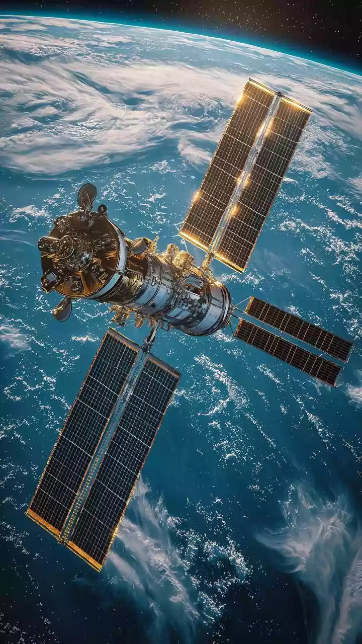
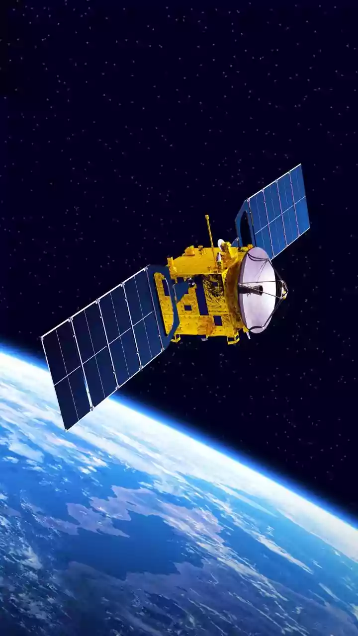
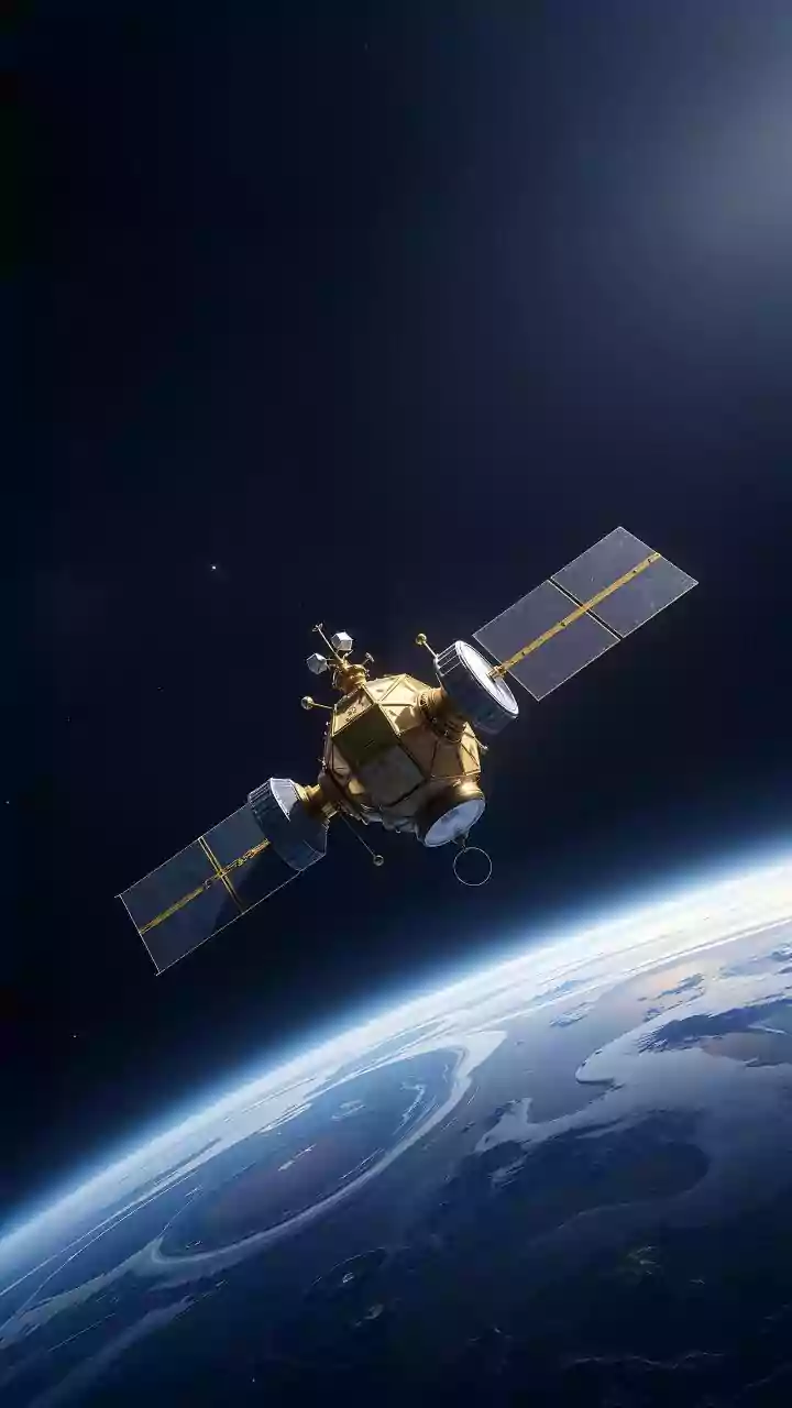
A fleet of Indian satellites, including the INSAT series (like INSAT-3D and 3DR) and others like SCATSAT-1, forms the backbone of this new forecasting capability. These aren't just cameras taking pictures; they are equipped with sophisticated instruments. Radiometers measure cloud-top temperatures, sounders analyse atmospheric moisture profiles, and scatterometers measure wind speed and direction over the ocean. Unlike optical sensors, which are blinded by clouds, technologies like Synthetic Aperture Radar (SAR) can penetrate cloud cover and even rain to map water levels on the ground, day or night. This constant stream of data is transmitted to ground stations, where ISRO and the India Meteorological Department (IMD) process it.
The Power of Nowcasting
The real revolution is in 'nowcasting'—highly localised, short-term forecasting for the next few hours. Satellite data is integrated with inputs from Doppler weather radars and automatic weather stations on the ground. This fusion of data is then fed into powerful AI-driven models. These models can downscale the information to a hyper-local level, sometimes to a resolution as fine as one square kilometre. Instead of just a city-wide alert, authorities can receive predictions about which specific wards or even streets are most at risk of inundation. Systems like the one piloted in Uttar Pradesh aim to provide these precise forecasts up to 10 days in advance, a massive leap forward.
Protecting the Urban Core
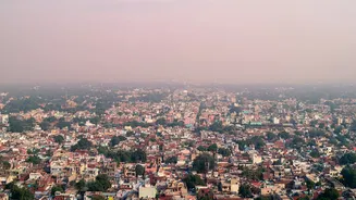
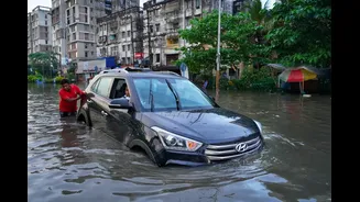
This precise, actionable intelligence is crucial for protecting urban infrastructure. In cities like Mumbai and Chennai, which have operational urban flood warning systems (iFLOWS in Mumbai), this data is already making a difference. Municipal corporations can use the forecasts to take preemptive action. They can ready water pumps in low-lying areas, clear choked stormwater drains, manage reservoir levels to prevent downstream flooding, and pre-position disaster response teams. Furthermore, it enables traffic authorities to issue timely warnings and suggest alternative routes, preventing gridlock. For citizens, it means receiving specific alerts that can help them protect property and stay safe. These systems combine rainfall predictions with GIS mapping of the city's drainage networks and topography to simulate where water will accumulate.
The Road Ahead: Building Resilient Cities
While the technology is powerful, its successful implementation depends on a robust ground infrastructure and seamless coordination between agencies. Many of India's urban drainage systems are old and rely on outdated rainfall intensity calculations, making them insufficient for today's climate-changed weather patterns. Integrating these new forecasting tools requires not just technology but also updating urban planning standards. The goal is to move from a reactive to a proactive stance on flood management. As India continues to expand its network of radars and automatic weather stations under initiatives like Mission Mausam, the accuracy and reach of these hyper-local forecasts are set to improve even further. The combination of satellite data, AI, and on-ground infrastructure holds the key to building more climate-resilient cities that are better prepared for the monsoon's fury.