




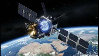


A New Eye in the Sky
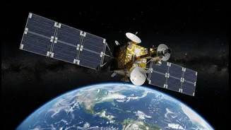
The NASA-ISRO Synthetic Aperture Radar, or NISAR, is not just another satellite; it's one of the most sophisticated Earth-observation platforms ever launched. A joint endeavor between the Indian Space Research Organisation (ISRO) and the U.S. National
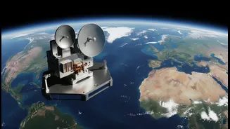
Aeronautics and Space Administration (NASA), NISAR represents a new era in global environmental monitoring. Launched from the Satish Dhawan Space Centre in India, this SUV-sized observatory is on a mission to map the entire globe every 12 days, providing an unprecedented and continuous stream of data on the subtle shifts of our planet's surface. Under the partnership, ISRO provided the spacecraft itself, the S-band radar system, and the launch vehicle, while NASA contributed the L-band radar, a massive deployable antenna, and advanced data-handling systems. This collaboration makes NISAR one of the most expensive Earth-imaging satellites ever built, with a clear purpose: to track the consequences of our changing climate and provide crucial information for managing natural hazards.
The Magic of Synthetic Aperture Radar
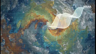
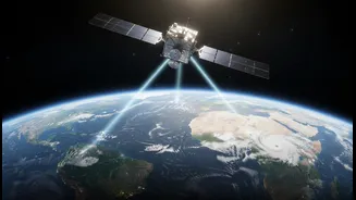
What makes NISAR so special is its cloud-piercing vision, a capability it owes to Synthetic Aperture Radar (SAR). Unlike optical satellites that depend on light and are blinded by clouds or nighttime, SAR is an active sensor. It sends out its own microwave pulses and reads the signals that bounce back, creating incredibly detailed images regardless of weather or time of day. NISAR is the first satellite to use two different radar frequencies simultaneously: the L-band and the S-band. The longer wavelength L-band radar, provided by NASA, can penetrate through forest canopies and vegetation to see the ground beneath. The S-band radar from ISRO is sensitive to lighter vegetation and surface details, making it ideal for monitoring things like soil moisture and crop health. This dual-frequency approach allows scientists to gather a richer, more comprehensive picture of what's happening both on and just below the Earth’s surface, detecting changes as small as a centimeter.
Charting Earth's Subtle Shifts
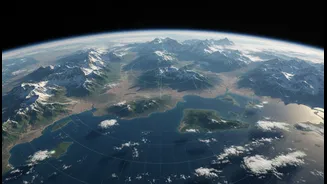
The data collected by NISAR will revolutionize our understanding of Earth’s dynamic systems. The mission is designed to measure subtle movements of the crust and ice surfaces with remarkable precision. This includes tracking the slow strain on tectonic plates to better understand earthquake risks, monitoring land subsidence from groundwater extraction, and observing the ground deformation that can signal an impending volcanic eruption. Beyond geology, NISAR will provide vital data on the planet's ice. It will measure the flow of glaciers and the melting of ice sheets in Greenland and Antarctica, which are key contributors to sea-level rise. The satellite will also monitor changes in ecosystems by measuring forest biomass, tracking the extent of wetlands, and observing agricultural lands. This steady stream of information will create a time-lapse view of our world, revealing processes that were previously too slow or too vast to capture effectively.
A Game-Changer for India
For India, the NISAR mission has profound strategic and practical importance. The data will directly support national priorities, offering critical insights for disaster management, agriculture, and climate resilience. The satellite's ability to monitor the Himalayan glaciers is crucial for understanding water resources and landslide risks in the region. In agriculture, NISAR's S-band radar will provide detailed soil moisture and crop health information, enabling smarter farming practices and more effective irrigation management. Furthermore, by providing early warnings for natural disasters like earthquakes, floods, and landslides, the mission will strengthen India’s disaster response capabilities. The open-access data policy ensures that this information will be freely available to scientists, policymakers, and the public, democratizing access to critical environmental intelligence and positioning India as a leader in global Earth science.