





A Deluge of Data from Above
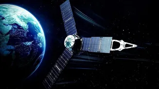
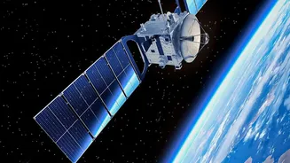
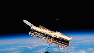
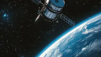
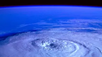
For decades, Earth-observing satellites have been our eyes in the sky, collecting invaluable information about our planet's oceans, atmosphere, and land. The result is a staggering collection of data—nearly 180 petabytes, with projections to hit 600 by the early 2030s.
This ever-growing archive holds the secrets to understanding climate change, managing natural resources, and responding to disasters. However, a critical bottleneck has emerged: the data is coming in far faster than scientists can process and interpret it. This data overload risks leaving crucial insights buried in unanalysed files, a challenge NASA is now tackling head-on with artificial intelligence.
Enter the AI 'Foundation Model'
In partnership with tech giants like IBM, NASA has developed a new generation of AI known as a 'foundation model'. This isn't just another algorithm; it's a massive, versatile AI that has been trained on vast quantities of unlabeled satellite imagery. One such model, named Prithvi, can learn the complex patterns of Earth's systems on its own. Think of it less like a specialized tool and more like a brilliant research assistant that can be quickly adapted for a wide range of tasks. Instead of building a new AI to spot wildfires and another to track deforestation, scientists can fine-tune the foundation model for each specific need, saving immense time and effort. This open-source approach democratizes access, allowing researchers everywhere to leverage NASA's powerful new tool.
From Raw Data to Real-Time Action
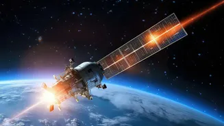
The true power of this AI program lies in its ability to turn observation into immediate, actionable intelligence. For example, the models can autonomously detect the burn scars left by wildfires, map the extent of flooding after a storm, or monitor the health of agricultural crops with incredible speed. Another developing capability, called Dynamic Targeting, even allows satellites to make decisions on their own. A spacecraft could spot the beginnings of a volcanic eruption, avoid cloud cover, and automatically focus its instruments on the event—all without waiting for commands from the ground. This could shrink the time between an event happening and data reaching first responders from days to mere minutes.
A New Era for Earth Science
For scientists, this represents a fundamental shift in how they study the planet. The AI can sift through decades of archival data to find connections that would be impossible for humans to detect. This could unlock new understanding of climate tipping points, improve long-term models for sea-level rise, and help predict where the next major drought or storm might hit. By combining data from different satellite missions, the AI provides a more holistic view of Earth's interconnected systems. Recent initiatives like the Federated Autonomous MEasurement (FAME) project and the Genesis Mission aim to create a network of AI-powered spacecraft that can work together, coordinating observations of short-lived phenomena like severe storms.
The Promise and the Precautions
The excitement surrounding these AI tools is immense, but scientists are also proceeding with caution. The United Nations and other bodies are raising important questions about the governance of this powerful technology. Ensuring the AI's conclusions are accurate and free from hidden biases is a top priority. Researchers emphasize that these models are tools to augment human expertise, not replace it. As with any AI, there are also concerns about the energy consumption required to train and run these massive models. The scientific community, including partners like the European Space Agency (ESA), is actively collaborating to establish frameworks for responsible and transparent use, ensuring the benefits are shared globally.