



A New Perspective from the Sky
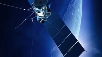
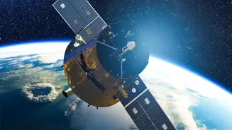
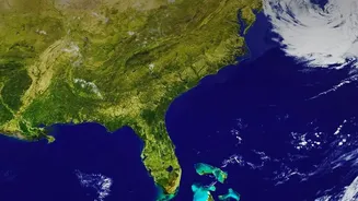
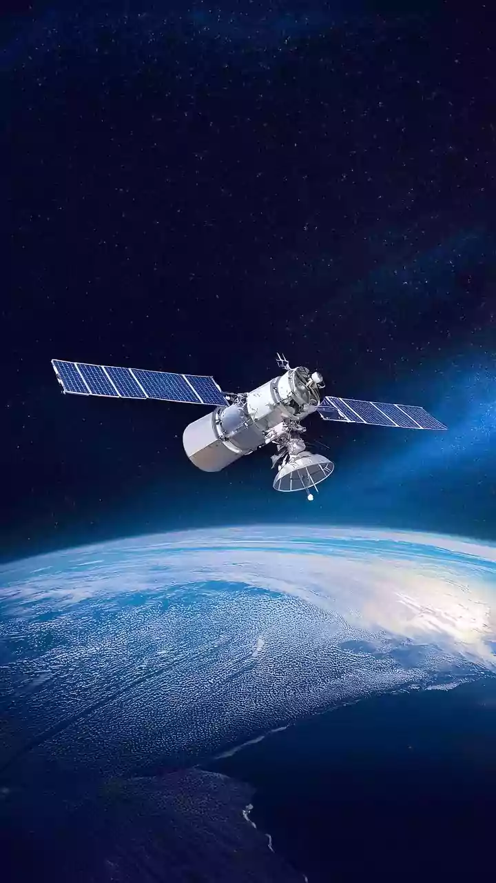
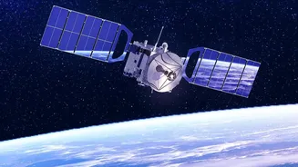
At its core, Earth-observation (EO) data is simply information about our planet's physical, chemical, and biological systems gathered from a distance, primarily by satellites. Think of it as a constant, large-scale health check-up for the Earth. These
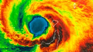
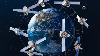
satellites are equipped with advanced sensors that capture everything from visible light, much like a regular camera, to other forms of radiation like infrared and radar. This allows them to 'see' things the human eye cannot, such as heat signatures, moisture levels, and subtle changes in land elevation. The Indian Space Research Organisation (ISRO) operates a robust constellation of EO satellites, providing a steady stream of data that is crucial for everything from weather forecasting to urban management.
From Raw Data to Urban Insights
A raw satellite image is just a collection of pixels. The magic happens when scientists and urban planners use technologies like remote sensing and Geographic Information Systems (GIS) to turn this data into actionable intelligence. By analysing multi-temporal data—images of the same place taken over months or years—they can detect patterns and changes. Advanced algorithms, often powered by artificial intelligence, can automatically identify and classify different features on the ground, such as new buildings, roads, green spaces, and water bodies. This process allows planners to move beyond static maps and gain a dynamic understanding of how a city is evolving in near real-time.
Mapping and Managing Urban Sprawl
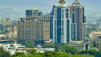
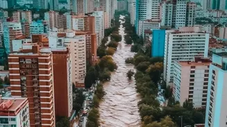
One of the most powerful applications of EO data is tracking urban sprawl—the often unplanned expansion of low-density development into surrounding areas. With India's urban population projected to grow significantly by 2050, managing this spread is critical to prevent the loss of fertile agricultural land and natural habitats. Satellite data provides a clear, verifiable record of how a city's footprint is changing. It can pinpoint where unauthorised construction is taking place, how quickly agricultural fringes are being converted into built-up areas, and whether development is occurring in hazard-prone zones like floodplains. This evidence-based approach enables authorities to enforce zoning regulations more effectively and guide development towards more sustainable patterns.
Planning for Smarter, More Liveable Cities
The benefits of EO data extend far beyond just tracking physical boundaries. This information is vital for creating cities that are more efficient and resilient. For instance, satellite imagery can help identify 'urban heat islands'—areas that are significantly warmer than their surroundings due to a concentration of heat-absorbing materials like concrete and asphalt. By mapping these hotspots, planners can prioritise the development of parks and green cover to cool neighbourhoods and improve air quality. The data also aids in infrastructure planning, from monitoring the progress of new metro lines to optimising waste management routes and assessing flood risk to design better drainage systems. For national initiatives like the Atal Mission for Rejuvenation and Urban Transformation (AMRUT), this data provides the foundation for master plans that aim to improve basic services like water supply and transport.
The Indian Context and the Path Forward
In India, where rapid urbanisation presents both immense opportunities and significant challenges like housing shortages and strained infrastructure, EO data is not a luxury but a necessity. ISRO's Bhuvan geoportal is a prime example of making this data accessible, offering detailed maps and information that can be used by everyone from central government agencies to local panchayats. By integrating satellite data into every stage of the planning process, India can move from a reactive to a proactive approach to urban management. It enables the creation of development plans based on real-world evidence rather than outdated surveys or estimations, ensuring that as our cities grow, they also become more equitable, sustainable, and prepared for the challenges of the future.