



The Challenge of Unruly Seas
The monsoon season transforms the Arabian Sea and the Bay of Bengal into unpredictable giants. Extreme weather events, such as cyclones, storm surges, and towering waves, pose a significant threat to coastal communities, maritime trade, and especially
the fishing population that ventures into these waters. Historically, the vastness of the ocean made it impossible to get a complete, real-time picture of developing threats. A storm brewing hundreds of kilometres offshore could gather strength and change course with little warning, leaving coastal populations vulnerable. Accurate and timely information is the most critical tool for saving lives and property, but gathering that data from the ocean's surface is a monumental task.
ISRO's Watchful Eyes in Orbit
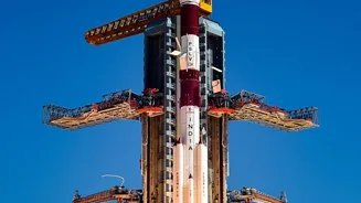
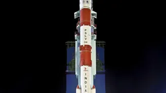
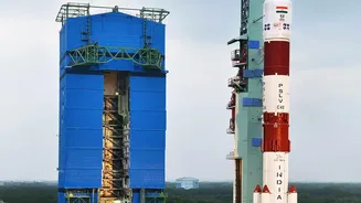
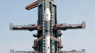
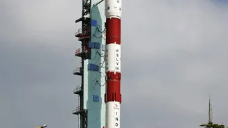
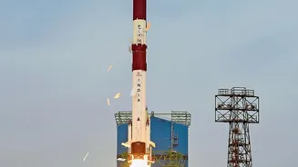
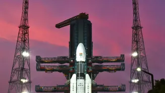
The Indian Space Research Organisation (ISRO) operates a fleet of advanced Earth Observation satellites that serve as our primary line of defence. Satellites like those in the Oceansat series, along with the Indo-French mission SARAL (Satellite with ARgos and ALtiKa), are specifically designed for oceanographic studies. These satellites are equipped with highly sensitive instruments that continuously scan the oceans, providing a torrent of data that was unimaginable just a few decades ago. They orbit the Earth, systematically collecting information on various ocean parameters, creating a dynamic map of the seas that reveals the earliest signs of danger. Recent additions and continuity missions like SCATSAT-1 and Oceansat-3 ensure that there are no gaps in this crucial surveillance.
Decoding the Ocean with Radar
Two key types of instruments make this possible: radar altimeters and scatterometers. Think of a radar altimeter as a hyper-accurate measuring tape from space. It sends a radar pulse down to the ocean and measures the precise time it takes to bounce back. This measurement reveals the sea surface height with centimetre-level accuracy. Unusual bulges in the sea surface can indicate the presence of underwater mountains or, more critically, the warm water eddies that fuel cyclones. A scatterometer, on the other hand, measures the roughness of the ocean surface. It sends out microwave pulses and analyses the backscatter—the signals that bounce back. A calm sea returns a weak signal, while a choppy, wind-swept surface returns a strong one. By analysing this backscatter from multiple angles, scientists can determine both wind speed and direction over the ocean, which is vital for tracking the formation and path of cyclones.
From Data to Life-Saving Alerts
The raw data from these satellites is just the beginning. This information is beamed down to ground stations and fed into powerful supercomputers. At centres like the Indian National Centre for Ocean Information Services (INCOIS), scientists and meteorologists process this data. They integrate it into sophisticated numerical models that simulate ocean and atmospheric conditions. For example, data on sea surface temperature from an instrument like an Ocean Colour Monitor helps identify regions with high thermal energy, which are breeding grounds for cyclones. Altimeter data showing a rise in sea level can signal a developing storm surge. Scatterometer data provides the crucial wind vectors needed to forecast a cyclone’s intensity and trajectory. Recent ISRO reports during the monsoon have shown the ability to track large-scale atmospheric vortices over the sea that directly lead to intense regional rainfall.
The Human Impact of Space Technology
The final, and most important, step is turning these forecasts into actionable warnings. INCOIS disseminates alerts about high waves, storm surges, and cyclone formations to various agencies, including the Indian Navy, Coast Guard, disaster management authorities, and, crucially, fishing communities. Services like the Gagan Enabled Mariner's Instrument for Navigation and Information (GEMINI) and the SAMUDRA mobile app deliver these warnings directly to fishermen, even when they are far from the coast and outside mobile network range. By providing advisories on potential fishing zones based on ocean conditions, these services also enhance livelihoods while ensuring safety. This seamless integration of satellite technology, data analysis, and communication networks demonstrates how space-based assets are no longer just a matter of scientific curiosity but a vital part of national infrastructure for public safety and climate resilience.