






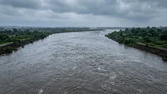
The Anatomy of a River Blockage
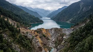
When intense rainfall or earthquakes strike the steep, fragile slopes of the Himalayas, they can trigger enormous landslides. Millions of tonnes of rock, soil, and debris can cascade into a narrow river valley, forming a crude but effective natural dam.
This barrier, known as a landslide dam, stops or severely restricts the river's flow, causing water to accumulate behind it and form a large, unstable lake. This process can happen with shocking speed, creating a dangerous reservoir in a matter of hours or days in remote, often unmonitored, locations.
A Ticking Time Bomb
Unlike engineered concrete dams, landslide dams are inherently unstable. They are composed of loose, unconsolidated material. The rising lake behind the blockage exerts immense pressure. The dam can fail in several ways, but the most common and dangerous is by overtopping. As the lake fills, water spills over the top of the debris dam, rapidly eroding it. This can lead to a catastrophic breach, releasing the entire volume of the impounded lake in a single, devastating event known as a Landslide Dam Outburst Flood (LDOF). This sudden release generates a towering wall of water, mud, and boulders that rushes downstream at high velocity, destroying everything in its path.
The Menace of GLOFs
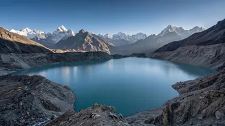
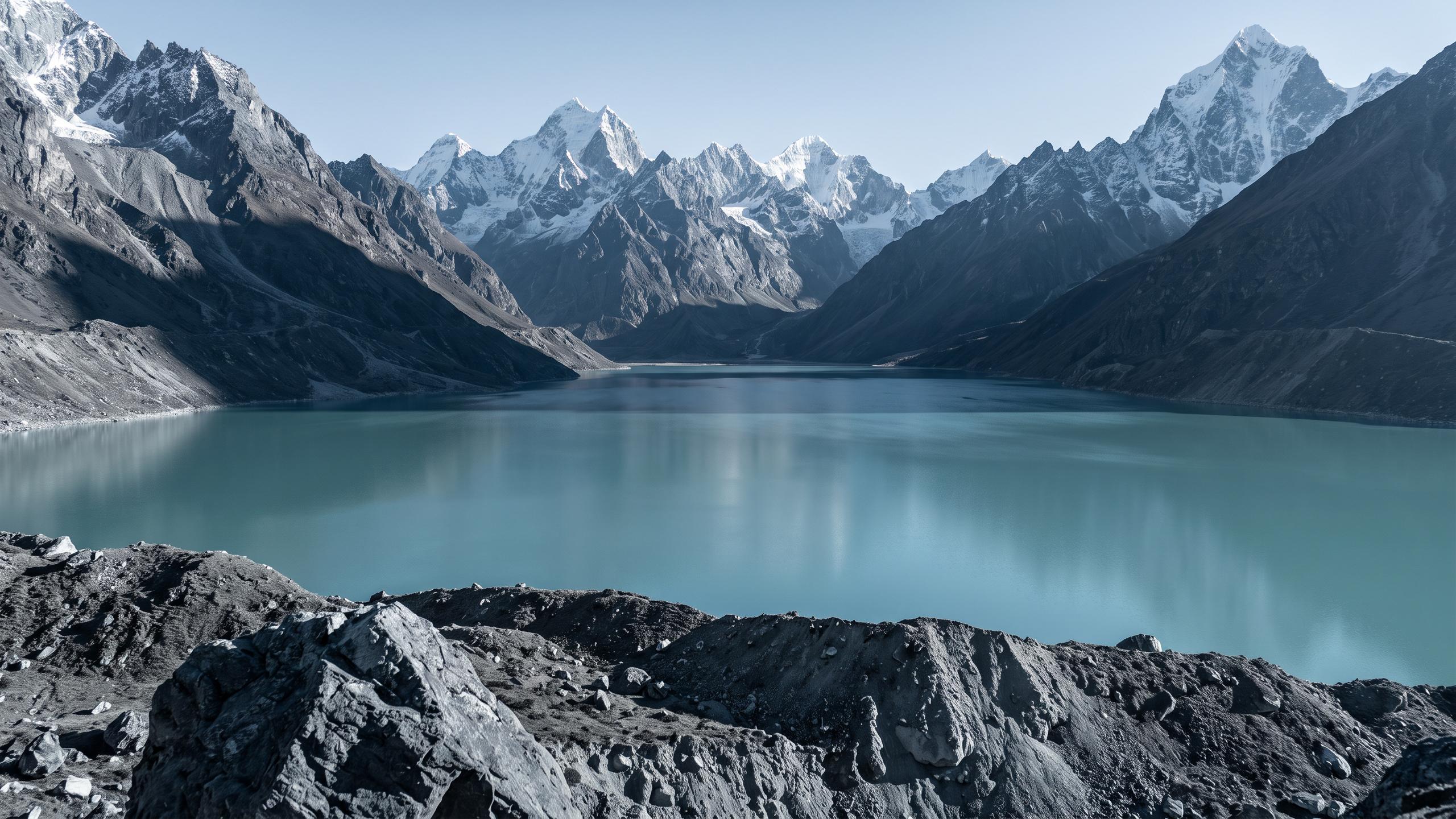
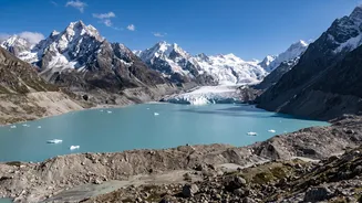
A similar, and increasingly frequent, threat comes from Glacial Lake Outburst Floods (GLOFs). As climate change warms the Himalayas, glaciers are melting at an accelerated rate. Meltwater often collects in lakes dammed by moraines—ridges of loose rock and soil left behind by retreating glaciers. These moraine dams are also weak. An avalanche, earthquake, or simply the pressure from a growing lake can cause them to burst, unleashing a GLOF. These events are particularly powerful and are becoming a major concern across the Himalayan region, where thousands of such potentially dangerous lakes have formed.
The High-Risk Corridor to India
The geography of the region creates a high-risk corridor. Rivers like the Kosi, Gandak, and Karnali originate in the high mountains of Nepal and flow steeply down to the flat, densely populated Gangetic plains of India. For states like Bihar and Uttar Pradesh, this means a disaster that originates hundreds of kilometres away in another country can arrive at their doorstep with terrifying speed. The Kosi river, in particular, is notoriously known as the "Sorrow of Bihar" for its history of devastating floods, many of which have transboundary origins. An upstream blockage on these river systems puts millions of people, homes, farms, and critical infrastructure in India at direct risk of sudden, severe flooding.
A Challenge of Cooperation and Warning
Mitigating this threat requires close cooperation between Nepal and India. The key to saving lives is timely information. In recent years, community-based early warning systems have been implemented, using sensors upstream in Nepal to send alerts via SMS and local volunteers to downstream villages in India. These systems can provide a crucial window of an hour or two for people to evacuate. However, challenges remain. Many blockages occur in remote, inaccessible areas, making them hard to detect. Furthermore, while data sharing agreements exist, ensuring that real-time information flows seamlessly across borders during a crisis is a constant diplomatic and technical challenge.