

A New Sentinel for India
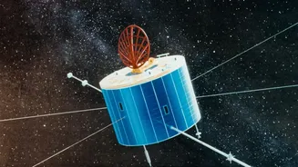
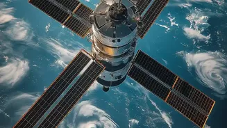
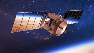
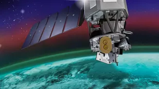
Meet NISAR, the NASA-ISRO Synthetic Aperture Radar satellite. Launched in 2025, this cutting-edge mission is a landmark collaboration between the Indian and American space agencies. Unlike traditional satellites that take pictures like a camera, NISAR uses
a powerful radar system. Think of it less like a photograph and more like an incredibly detailed ultrasound of the Earth's surface. Its primary job is to scan our planet, detecting tiny changes in land, ice, and vegetation. For a flood-prone nation like India, its capabilities are nothing short of a game-changer for disaster management and environmental science.
The Power of Seeing in the Dark
The biggest challenge in monitoring floods from space has always been the weather. Floods are often caused by intense storms, meaning thick cloud cover makes it impossible for normal optical satellites to see the ground. This is where NISAR's Synthetic Aperture Radar (SAR) technology shines. The satellite actively sends out a microwave signal that can slice through clouds, rain, and darkness, day or night. It means that when a cyclone is bearing down or the monsoon is at its peak, scientists are no longer flying blind. They can get a clear, unobstructed view of the situation on the ground precisely when it is most critical.
From Infrequent Glimpses to a Constant Watch
The headline mentions a 'daily' release, and while NISAR maps the entire globe roughly every 12 days, its observation strategy allows for much more frequent looks at specific areas. For disaster scenarios, the system is designed to provide crucial data within hours of an observation. This is a monumental leap from older satellites that might pass over a flooded region only once a week, potentially missing the peak of the disaster entirely. With NISAR, scientists get a consistent and reliable stream of information, allowing them to watch a flood event unfold in near real-time, track the water's movement, and understand its impact with unprecedented clarity. All of its data is planned to be freely available to the public within a day or two of being captured.
How Radar Maps a Flood
The technique is both simple and ingenious. When NISAR's radar signal hits a smooth surface like floodwater, the signal bounces off and away from the satellite, much like skipping a stone on a lake. In the resulting radar image, these water-covered areas appear dark. In contrast, when the signal hits rough surfaces like land, buildings, or vegetation, it scatters in all directions, with a portion bouncing back to the satellite. These areas appear brighter. This stark contrast between dark water and bright land allows scientists to create incredibly accurate maps of the flood's exact extent. The satellite's L-band radar can even penetrate forest canopies to detect waterlogged ground beneath.
A Game-Changer for Scientists and Planners
For scientists in India, this technology provides a powerful new toolkit. By comparing images taken before and during a flood, they can precisely measure the affected area, assess damage to crops and infrastructure, and identify communities at risk. These maps are vital for emergency response teams to direct rescue and relief efforts efficiently. Beyond immediate disasters, the data helps hydrologists understand river dynamics, urban planners design more resilient cities, and agricultural experts assess the long-term impact on soil moisture and crop health. It essentially acts as a virtual network of stream gauges covering the entire country, augmenting our existing on-ground monitoring systems.