



ISRO’s Eyes on the Ocean
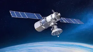
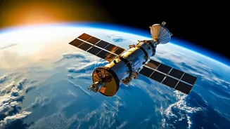
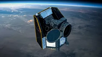
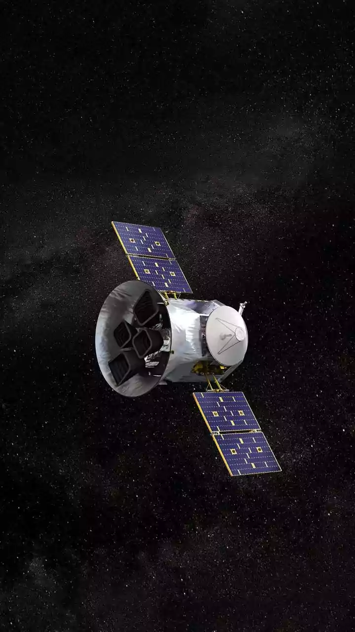
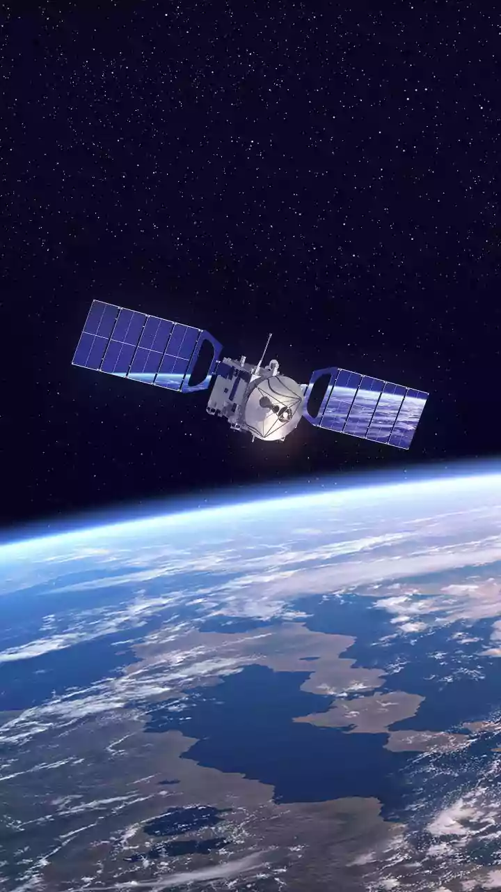
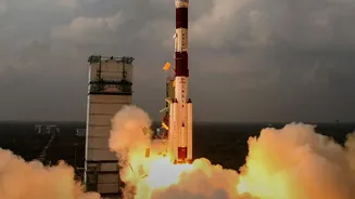
Since 1999, the Indian Space Research Organisation (ISRO) has been deploying a specialised series of satellites known as OceanSat. These platforms are dedicated to oceanography and atmospheric studies, serving as India's vigilant eyes over the vast seas.
The latest in this series, OceanSat-3 (also named EOS-06), was launched in November 2022 to continue and enhance the work of its predecessors. These satellites orbit the Earth in a sun-synchronous path, allowing them to observe the same spot at the same local time each day, providing consistent and comparable data crucial for monitoring the dynamic marine environment. Equipped with a suite of advanced sensors, their primary mission is to gather data on various ocean parameters that have a direct impact on life back on Earth.
How Satellites See Ocean Colour
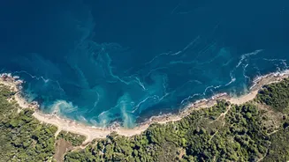
One of the key instruments aboard the OceanSat series is the Ocean Colour Monitor (OCM). This highly sensitive camera doesn't just see the ocean as blue; it measures the subtle variations in colour across multiple spectral bands. These colour differences are caused by what's in the water. The most important component it looks for is chlorophyll, the pigment found in microscopic marine plants called phytoplankton. Just like on land, chlorophyll is a sign of life. High concentrations of chlorophyll indicate a thriving population of phytoplankton, which forms the base of the marine food web. In essence, where there's an abundance of phytoplankton, there's food for small fish, which in turn attract larger, commercially valuable fish. The OCM can map these chlorophyll-rich areas from space, effectively creating a treasure map for fishermen.
Guiding Fishermen to the Catch
The data collected by OceanSat doesn't go directly to the fishing boats. Instead, it is relayed to the Indian National Centre for Ocean Information Services (INCOIS) in Hyderabad. Since 2002, ISRO and INCOIS have collaborated on a service that transforms this complex satellite data into practical advisories. Scientists at INCOIS combine the chlorophyll data from the OCM with Sea Surface Temperature (SST) data to identify Potential Fishing Zones (PFZs). These are areas where conditions are ideal for fish to aggregate. This information is then disseminated daily to fishing communities across India in multiple languages via SMS, websites, radio, and specialised display boards at landing centres. The impact has been transformative for the nearly seven million people dependent on fishing, significantly reducing the fuel and time spent searching for fish, leading to bigger catches and higher profits.
A Watchful Eye on the Weather
Beyond fishing, OceanSat plays a critical role in weather forecasting, particularly in tracking cyclones. The satellites are equipped with instruments like scatterometers and sea surface temperature monitors. A scatterometer measures the roughness of the ocean surface to determine wind speed and direction, while other sensors measure the sea surface temperature. Both are vital parameters for meteorologists. Cyclones draw their energy from warm ocean waters, so knowing the precise temperature of the sea surface is crucial for predicting a storm's formation and intensification. By feeding this data into weather models, forecasters can more accurately predict a cyclone's track and strength, allowing for timely warnings that save lives and property along India's vulnerable coastlines.
More Than Just Fish and Storms
The capabilities of the OceanSat series extend even further. The data is used for a wide range of applications, including monitoring sediment plumes from rivers, detecting and tracking harmful algal blooms, and studying the ocean's role in the global carbon cycle for climate change research. For instance, the advanced 13-band OCM on OceanSat-3 provides detailed information that aids in studying phytoplankton biodiversity and coastal water quality. This comprehensive monitoring helps scientists understand the health of marine ecosystems and the long-term impacts of climate change on our oceans. By providing a continuous and reliable stream of data, these satellites are an invaluable national asset for resource management and scientific research.