






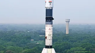
What Makes EOS-05 a Game-Changer?
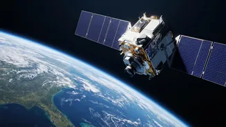
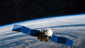
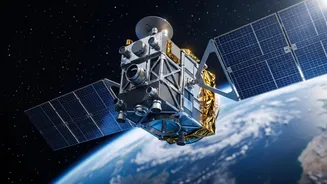
EOS-05, or Earth Observation Satellite-05, is not just another satellite; it's a state-of-the-art geo-imaging platform. Unlike its predecessors that orbit closer to Earth and pass over locations at intervals, EOS-05 is designed for a geostationary orbit.
This means it will orbit at the same speed as the Earth's rotation, allowing it to remain seemingly fixed over the Indian subcontinent. This unique positioning enables it to provide near real-time imagery of a large area, a capability India has been keen to develop. Equipped with powerful multispectral and hyperspectral imagers, the satellite can capture images across various wavelengths of light, revealing details invisible to the naked eye. This allows it to monitor everything from cloud patterns to crop health with remarkable frequency, imaging the entire country every half-hour.
The Delicate Dance of Orbital Parking
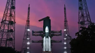
Getting a satellite into its final geostationary slot is a complex and high-stakes procedure. After the initial launch, which places the satellite into a temporary Geostationary Transfer Orbit (GTO), the real work for ISRO's mission control begins. This transfer orbit is highly elliptical, swinging the satellite far out to its highest point (apogee) and back in close to the Earth (perigee). Over several days, engineers on the ground meticulously fire the satellite's onboard engines in a series of pre-planned burns. These 'apogee motor firings' gradually push the orbit's lowest point higher, making the path more circular. Each manoeuvre must be perfectly calculated and executed to nudge the over-2,000 kg satellite into a precise slot 36,000 km above the equator, a process that requires immense precision and patience.
A Watchful Guardian for the Nation
The primary mission of EOS-05 is to serve as a constant watchdog for rapidly developing natural disasters. Its ability to provide images every five minutes for a selected region is a massive leap forward for disaster management agencies. This allows for near real-time tracking of cyclones, monitoring of flood-affected areas, and early warnings for forest fires and cloudbursts. Beyond emergencies, the satellite will be a vital tool for agriculture, offering insights into crop health, soil moisture, and vegetation changes. It will also aid in urban planning, monitoring water bodies, and tracking environmental changes like desertification and deforestation, providing crucial data for India’s climate resilience efforts.
Strengthening India's Strategic Vision
While its civilian applications are profound, the strategic importance of EOS-05 cannot be overlooked. A satellite that can continuously observe the entire Indian subcontinent provides a significant boost to the nation's security apparatus. This 'eye in the sky' can monitor border areas and vast maritime zones for any unusual activity, offering crucial intelligence for strategic planning and response. In an era where space is increasingly seen as a critical domain for national security, assets like EOS-05 enhance India's self-reliance in space-based surveillance. This capability is vital for maintaining situational awareness and protecting national interests without depending on foreign sources for critical imagery intelligence.