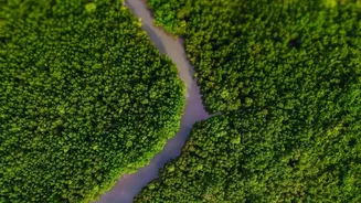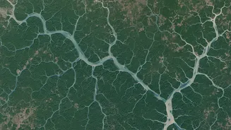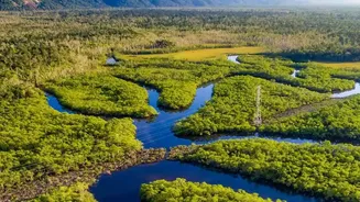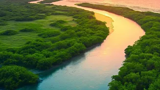






The Lungs of the Coast
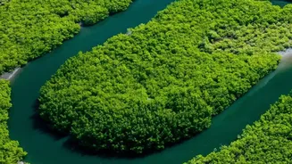
The Sundarbans is more than just a forest; it is a complex, living barrier that protects India’s coastlines from storm surges and erosion. But its most crucial role in the era of climate change is as a ‘blue carbon’ sink. Mangrove ecosystems are incredibly
efficient at capturing and storing carbon dioxide from the atmosphere, locking it away in their biomass—trunks, leaves, and complex root systems—and the soil beneath them. In fact, mangroves can store two to four times more carbon per hectare than mature tropical forests, making their preservation a global priority. The health and density of these forests are direct indicators of their carbon-storing capacity. A denser, healthier forest means more carbon is being pulled from the air, helping to mitigate the effects of global warming. Monitoring this vast and often inaccessible region has historically been a monumental challenge.
Seeing the Forest from the Stars
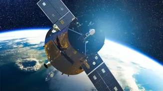
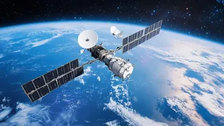
Enter satellite imaging, a game-changer for environmental science. Satellites like the Copernicus Sentinel series and Landsat provide high-resolution images of the Earth's surface, allowing scientists to monitor vast areas like the Sundarbans consistently and cost-effectively. These satellites are equipped with advanced sensors that capture light beyond what the human eye can see, specifically in the near-infrared (NIR) spectrum. Healthy, dense vegetation is highly reflective in the NIR spectrum, while it absorbs red light for photosynthesis. By comparing the amount of red light absorbed to the amount of NIR light reflected, scientists can calculate a crucial metric known as the Normalized Difference Vegetation Index (NDVI).
From Pixels to Density
The NDVI is essentially a measure of greenness, or plant health. A high NDVI value, often nearing 1, indicates dense, thriving vegetation with a lot of leafy biomass. Lower values suggest sparser vegetation or stressed plants. By applying the NDVI formula to satellite images captured over time, researchers can create detailed maps that show changes in mangrove density across the entire Sundarbans delta. These maps can pinpoint areas where the forest is degrading due to factors like rising salinity, pollution, or human activity, as well as areas that are recovering or growing. This process transforms millions of individual pixels from satellite images into a dynamic, evolving picture of the forest's overall health and density.
Connecting Density to Carbon
The final step is to translate mangrove density into a concrete measurement of carbon sequestration. This is achieved using established scientific models called allometric equations. These equations are developed through a combination of fieldwork—where scientists physically measure trees and their carbon content—and the satellite data. They establish a reliable correlation between the forest's aboveground biomass (estimated from density and height data captured by satellites) and the total amount of carbon it holds. By applying these equations to the density maps created from NDVI and other indices, scientists can estimate the total carbon stock of the Sundarbans and, crucially, how it changes from year to year. For example, one recent study using this method calculated the amount of carbon sequestration in the Sundarbans to be 257 Mg/ha per year.
Why This Technology Matters for India
This satellite-based approach is revolutionary. It allows for accurate and repeatable measurements across the entire forest, something impossible with ground-based surveys alone. For India, this data is invaluable for several reasons. It provides robust evidence for the country's climate action plans and its commitments under the Paris Agreement. Furthermore, these accurate measurements are essential for participating in global carbon markets. By quantifying the carbon sequestered by the Sundarbans, India can potentially generate 'blue carbon credits,' creating financial incentives for conservation and reinvesting the funds into protecting the ecosystem and supporting local communities. It provides a clear, science-backed report card on the health of one of our most precious natural assets, ensuring that conservation efforts are effective and targeted.