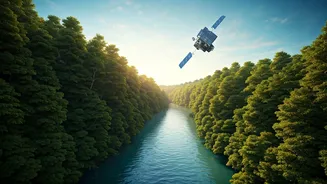


An Eye on Our Forests
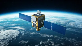
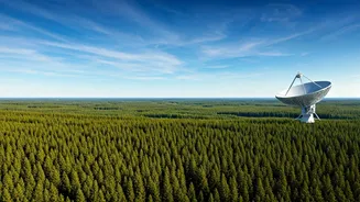
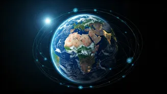
India's forests are vital carbon sinks and biodiversity hotspots. Protecting them from illegal logging and devastating fires is a monumental task. This is where Earth-observation satellites, including those from our own Indian Space Research Organisation
(ISRO), become crucial. High-resolution imagery allows authorities to monitor forest cover in near real-time. By comparing images taken over days or weeks, analysts can quickly detect unauthorised clearings that would be impossible to spot from the ground. Furthermore, thermal sensors on satellites can detect the heat signatures of forest fires, often before they are visible to the naked eye. This gives forest departments a critical head start in deploying resources to contain blazes, saving vast tracts of land and wildlife habitats. ISRO's collaboration with the Forest Survey of India provides biennial reports on the state of our forests, all powered by this 'eye in the sky'.
Managing Every Drop of Water
For a country as vast and populous as India, water management is a matter of survival. From the Himalayan glaciers that feed our great rivers to the monsoon rains that replenish our farmlands, understanding water distribution is key. Space technology provides a comprehensive overview. Satellites equipped with altimeters can measure the height of water in reservoirs, lakes, and major rivers with incredible precision. This data helps engineers manage dam outflows, predict flood risks, and allocate water for irrigation and drinking. Specialised satellites can even peer beneath the Earth's surface using gravity measurements to estimate changes in groundwater levels, a critical resource that is being rapidly depleted in many parts of the country. This information is invaluable for creating sustainable water policies and helping communities prepare for both droughts and floods.
Guarding Our Coasts and Oceans
India's extensive coastline and marine ecosystems face threats from illegal fishing, pollution, and coastal erosion. Satellite surveillance is a game-changer in maritime security. By using radar that can see through clouds and at night, authorities can track vessels that have turned off their mandatory identification systems, a common tactic in illegal fishing operations. This helps protect fish stocks and the livelihoods of legitimate fishermen. Satellites also monitor ocean colour, which can indicate the health of phytoplankton, the base of the marine food web, and detect harmful algal blooms or oil spills. For our coastlines, satellite data tracks changes in shoreline positions over time, identifying areas vulnerable to erosion and helping planners design better coastal protection measures to safeguard communities.
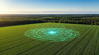
Smarter Farming from Space
The backbone of the Indian economy, agriculture, is increasingly turning to space for support. Precision agriculture uses satellite data to help farmers work smarter, not just harder. By analysing light reflected from crops (a technique known as NDVI), satellites can assess plant health, identify areas stressed by pests or lack of nutrients, and measure soil moisture levels. This allows for targeted application of fertilisers and water, reducing waste, cutting costs, and minimising environmental impact. On a larger scale, this data helps the government forecast crop yields with greater accuracy, which is essential for managing food security, setting price policies, and planning imports or exports. It’s a powerful tool for building a more resilient and efficient agricultural sector.
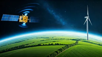
Tracking a Changing Climate
Nowhere is the impact of climate change more starkly visible than in the planet's frozen regions. For India, the health of the Himalayan glaciers is a critical concern, as they are the source of water for millions. Satellites provide an unmatched ability to monitor these remote and inhospitable environments. They measure the extent of ice cover, track the speed at which glaciers are moving, and calculate the rate at which they are thinning. This long-term data, collected over decades, provides undeniable evidence of climate change and helps scientists model future water availability in major river basins like the Ganga and Brahmaputra. This foresight is crucial for long-term planning and adapting to the inevitable changes our environment is undergoing.