
More Than Just a Picture
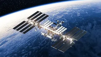
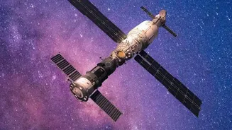
When we think of satellites, we often imagine them taking simple photographs of the Earth. But the technology used for monitoring vegetation is far more advanced. Agricultural satellites are equipped with multispectral sensors that capture light far beyond
what the human eye can see. These sensors measure how crops reflect different wavelengths of light, particularly visible light and near-infrared (NIR) light. This is the key to unlocking a wealth of information about plant health. Healthy, thriving vegetation is rich in chlorophyll, which absorbs red light for photosynthesis but strongly reflects near-infrared light. A stressed, diseased, or dehydrated plant does the opposite. By analysing this unique light signature, scientists and farmers can gain a detailed understanding of crop conditions across thousands of acres without ever setting foot in the field.
Decoding the Data with NDVI
The raw data from these satellites is translated into a simple, actionable metric called the Normalized Difference Vegetation Index, or NDVI. NDVI is a calculation that compares the reflectance of red light against near-infrared light. The result is an index value ranging from -1 to +1. Dense, healthy vegetation shows a high NDVI value (closer to +1), while sparse vegetation, stressed crops, or bare soil result in a low value (closer to 0). This process effectively turns complex light-wave data into a straightforward health check for crops. Modern farming platforms process this data to create colour-coded maps of fields, where shades of green might indicate healthy growth and patches of yellow or red can flag problem areas that need immediate attention.
From Insights to Action on the Farm
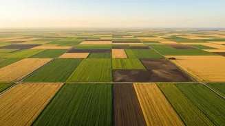
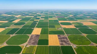
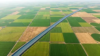
These NDVI maps are the foundation of what is known as precision agriculture. Instead of treating a massive field as one uniform unit, farmers can use these satellite-derived insights to make highly targeted decisions. For instance, an NDVI map might reveal a section of a field suffering from water stress or a nutrient deficiency. Armed with this knowledge, a farmer can apply irrigation or fertilizer only to that specific zone, rather than the entire field. This not only saves money on costly inputs like water and fertilizer but also reduces the environmental impact of farming. This approach allows for early intervention, addressing issues like pest infestations or disease outbreaks before they have a chance to spread and devastate a harvest.
A Digital Revolution for Indian Agriculture
In India, where agriculture supports a majority of the population and is dominated by small-scale farms, this technology holds immense promise. Government bodies like the Indian Space Research Organisation (ISRO) have long used satellites for agricultural applications, including crop forecasting and drought assessment. Now, this data is becoming increasingly accessible to individual farmers and agri-tech startups. Mobile apps can deliver satellite insights directly to a farmer's smartphone, providing alerts for pest stress in Gujarat or water shortages in West Bengal. This technology helps overcome the challenges of monitoring fragmented landholdings and empowers farmers with the data to increase their yields, improve resilience against climate change, and operate more sustainably.