




The Ground-Level Problem
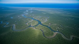
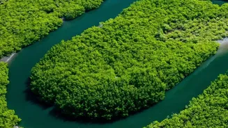
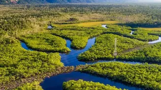
The Sundarbans, the world's largest mangrove forest, is a complex and challenging environment. Traditionally, measuring the carbon stored within its trees and soil required gruelling fieldwork. Scientists would venture into the dense, muddy terrain to manually
measure tree trunks, estimate their height, and take soil samples. This process is not only physically demanding and time-consuming but also provides only a fragmented picture. Because it is impossible to survey every corner of this vast ecosystem, researchers have to extrapolate from a few small plots, a method that can lead to significant uncertainties in the final carbon tally. This makes it difficult to get a true, comprehensive assessment of the forest's health and its role in fighting climate change.
A New Vantage Point: The View from Space
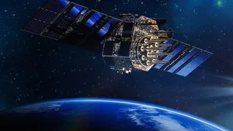
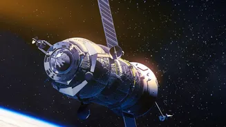
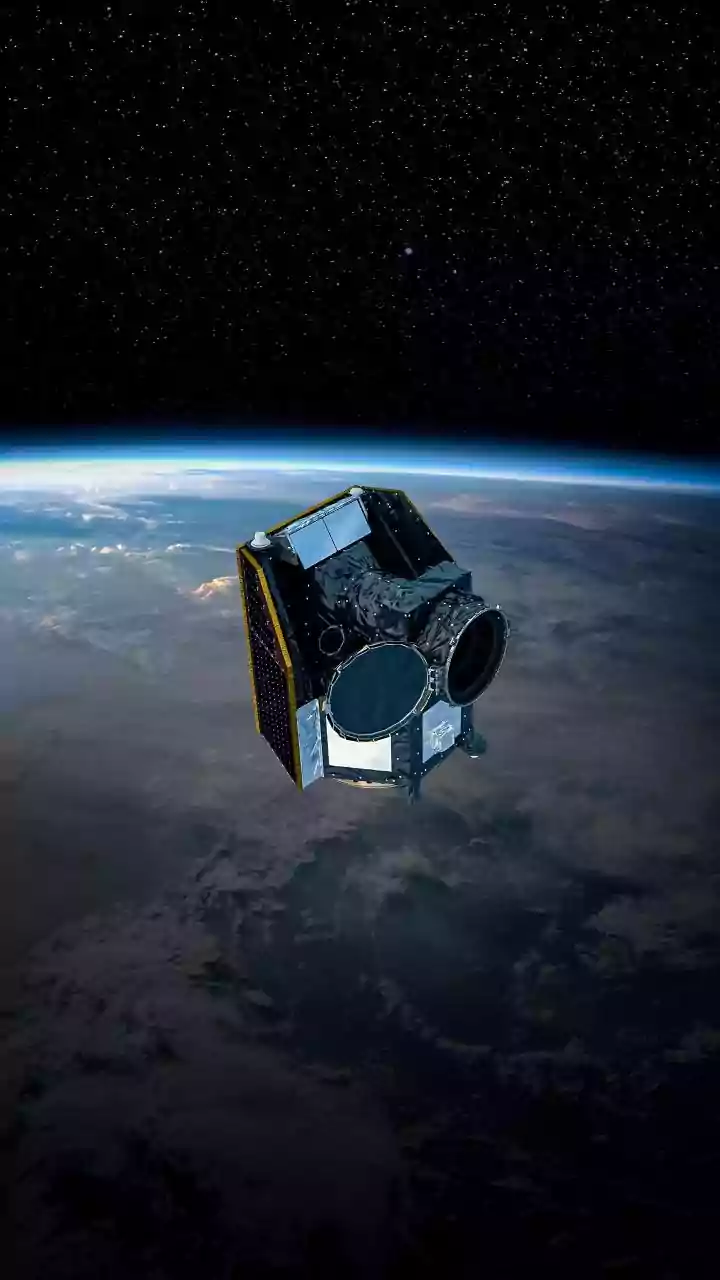
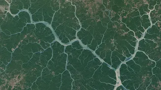
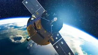
Satellite imaging offers a powerful solution, allowing scientists to survey the entire Sundarbans ecosystem from hundreds of kilometres above the Earth. Instead of being limited to what can be measured by hand, researchers now use a combination of advanced remote sensing technologies. These include optical satellites like the Sentinel-2, which capture high-resolution images similar to a photograph, showing the greenness and extent of the mangrove canopy. Another key technology is Synthetic Aperture Radar (SAR), which uses radio waves that can penetrate cloud cover and, at certain wavelengths, even the forest canopy to reveal the structure of the trees beneath. This constant, overarching view provides a wealth of data that was previously unimaginable.
Seeing the Forest in 3D with LiDAR
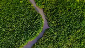
Perhaps the most game-changing technology is LiDAR (Light Detection and Ranging). Often deployed from aircraft or drones for higher-resolution studies, LiDAR works by sending down pulses of laser light. By measuring how long it takes for these pulses to bounce off the forest and return, it creates a highly detailed three-dimensional map. This 3D point cloud can distinguish the top of the canopy from the forest floor, providing precise measurements of tree height and forest density. This data is crucial because a taller, denser forest generally holds more carbon. LiDAR effectively gives scientists a 3D X-ray of the forest's structure, which is a key ingredient for calculating its total biomass.
From Pixels to Carbon Tonnes
This flood of satellite data isn't useful on its own. The magic happens when it is combined with targeted fieldwork and powerful computing. Scientists still visit select plots on the ground to collect traditional measurements. This on-the-ground data, known as "ground-truthing," is used to train machine learning algorithms. These algorithms learn to connect the patterns in the satellite pixels—the specific colours, textures, and 3D heights—with the actual biomass and carbon measured in the field. Once the model is trained and verified, it can be applied across the entire satellite image of the Sundarbans, producing a detailed, wall-to-wall map of carbon storage with remarkable accuracy.
Why Pinpoint Accuracy Matters
This enhanced accuracy is more than just an academic achievement. It provides a reliable, transparent, and verifiable accounting of the Sundarbans' role as a "blue carbon" ecosystem—one that stores vast amounts of carbon in coastal and marine systems. These precise measurements are essential for India to track its progress towards national and international climate goals. Furthermore, they are vital for unlocking finance through mechanisms like carbon markets. By accurately quantifying the carbon being stored, conservation efforts can be assigned a monetary value, creating strong economic incentives to protect and restore this precious habitat. It allows policymakers to see where the forest is thriving and where it is degrading, enabling more effective management and protection strategies.