






The Mission's Crucial Objective
The GSLV-F17 is the 19th flight for India's powerful Geosynchronous Satellite Launch Vehicle (GSLV). Its primary task is to deliver the EOS-05 satellite, weighing approximately 2,367 kg, into a precise Sub-Geosynchronous Transfer Orbit (Sub-GTO). From
this initial orbit, the satellite will use its own propulsion system to perform a series of manoeuvres, eventually settling into its final geosynchronous perch about 36,000 km above the Earth. This high-altitude orbit allows the satellite to match Earth's rotation, effectively remaining stationary over the Indian subcontinent for continuous observation. The launch, scheduled from the Satish Dhawan Space Centre in Sriharikota, marks a significant step for ISRO, as EOS-05 is designed to be India's first imaging satellite operating from a geosynchronous orbit.
The Powerhouse: GSLV-F17
ISRO's GSLV is a three-stage launch vehicle known for lifting heavier payloads to higher orbits compared to its workhorse counterpart, the PSLV. The GSLV Mark II variant, which will be used for this mission, is 51.7 meters tall and has a lift-off mass of over 420 tonnes. Its first stage combines a solid rocket motor with four liquid-fueled strap-on boosters. The second stage is powered by a high-thrust liquid engine, while the crucial third stage is the indigenously developed Cryogenic Upper Stage (CUS). This cryogenic stage, which uses super-cooled liquid hydrogen and liquid oxygen as propellants, provides the final, powerful thrust needed to place the satellite into its highly elliptical transfer orbit. The GSLV-F17 mission is notable for carrying one of the heaviest payloads for this class of rocket, demonstrating ISRO's growing capability in launching substantial satellites.
An Advanced Eye on Earth: The EOS-05 Satellite
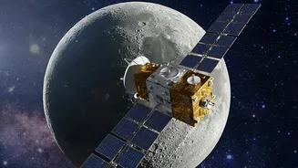
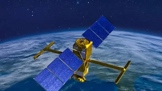
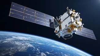
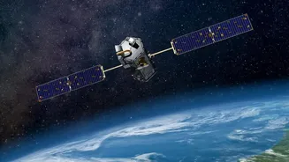
EOS-05 is not just another satellite; it's a sophisticated observation platform. As part of ISRO's Earth Observation Satellite programme, its main purpose is to provide high-frequency, near real-time imaging of the Indian landmass and surrounding oceans. Unlike satellites in Low Earth Orbit (LEO) that revisit a location periodically, EOS-05's geostationary position will enable it to monitor large areas constantly. It is equipped with advanced imaging sensors, including multispectral and hyperspectral instruments that capture data across various wavelengths of light. This allows the satellite to see far more than the human eye, detecting changes in vegetation health, water bodies, and atmospheric conditions. This capability will provide invaluable data for a wide range of applications, from security and surveillance to environmental monitoring.
Transforming India's Weather and Disaster Management
The true impact of the EOS-05 will be felt on the ground. Its ability to provide continuous, high-resolution imagery will be a game-changer for weather forecasting, especially in tracking the development and movement of cyclones, thunderstorms, and other severe weather events. The satellite will enable more accurate and timely warnings, which is critical for disaster management authorities to evacuate vulnerable populations and mitigate damage. Beyond disaster response, the data will significantly benefit India's agricultural sector by providing insights into crop health, soil moisture, and drought conditions. This information can help farmers make better decisions and support national food security. The satellite will also aid in monitoring forest fires, floods, and urban development, making it a versatile tool for national planning and resource management.