



Just How Dry Has It Been?
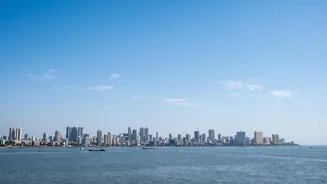
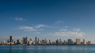
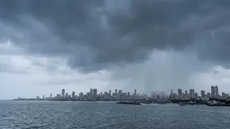
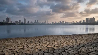
August, typically one of the wettest months for Mumbai, has been exceptionally subdued in 2026. While July saw intense rainfall spells, August has been marked by a prolonged break. Across Maharashtra, sub-divisions like Vidarbha and Marathwada have slipped
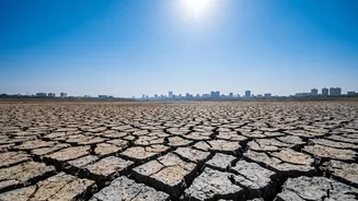
into a deficit category, with shortfalls of 22% and 21% respectively. Even the Konkan coast, including Mumbai, is not expected to receive adequate rainfall for the rest of the month. This dry spell is causing the state's overall seasonal deficit to grow, raising concerns for both water reservoirs and agriculture. This pattern follows a delayed and erratic start to the monsoon season in June, which was initially marked by weak winds and the absence of strong low-pressure systems.
The El Niño Connection
A major global climate pattern influencing this year's monsoon is the strengthening El Niño. This phenomenon involves the warming of sea surface temperatures in the equatorial Pacific Ocean, which disrupts weather patterns worldwide. For India, a strong El Niño is often associated with a weaker summer monsoon. The India Meteorological Department (IMD) has noted that moderate El Niño conditions are prevailing and expected to strengthen further. This is considered a primary factor behind the suppressed rainfall, as it alters atmospheric circulation and can lead to prolonged dry spells during the monsoon season. Projections suggest India could be heading for its weakest monsoon since 2009, largely due to the impact of El Niño.
A Shift in the Monsoon Trough
On a more regional level, the position of the monsoon trough is critical. This elongated low-pressure area is the engine of monsoon rainfall. For widespread rain over central and peninsular India, including Mumbai, the trough needs to be in its normal position or slightly south. However, reports indicate that the western end of the trough has remained near or to the north of its normal position, stuck in the Himalayan foothills. When the trough shifts to the foothills, it typically leads to a 'break' in the monsoon over the rest of the country, causing a significant reduction in rainfall, which is what has been observed through much of August.
Other Contributing Factors
Several other meteorological elements have contributed to the dry spell. The low-level Somali Jet, a stream of strong winds that brings moisture from the Arabian Sea to the Indian subcontinent, has been weaker than normal. Additionally, the Madden-Julian Oscillation (MJO), an eastward-moving pulse of cloud and rainfall near the equator, has been weak or indiscernible. While the MJO is currently in a phase that is not conducive to enhancing monsoon rains over India, its weak amplitude means it is not a dominant driver of the current weather pattern. Furthermore, the Indian Ocean Dipole (IOD), another crucial climate driver, is currently in a neutral phase, offering little assistance to counteract the suppressive effects of El Niño.
What's Next for Mumbai?
The forecast for the immediate future suggests that subdued rainfall is likely to continue into the first week of September. The IMD has predicted below-average rain for the two weeks leading up to September 2nd. There is some hope that positive IOD conditions might develop later in September, which could potentially revive rainfall activity, but this remains uncertain. For now, the combination of a strong El Niño and unfavourable regional weather patterns points towards a continued dry spell. Even with the deficit, the monsoon has become more erratic, with the potential for short, intense bursts of rain even within a drier-than-average season.