



The Challenge of Measuring a Forest
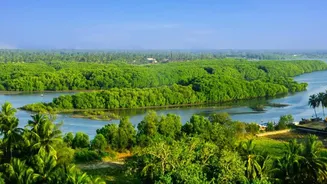
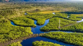
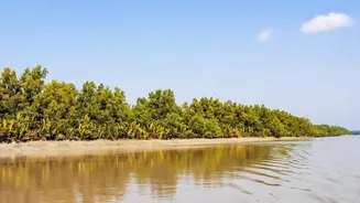
The Sundarbans are a natural fortress against climate change, absorbing vast amounts of carbon dioxide. Mangrove ecosystems can store two to four times more carbon than mature tropical forests, mostly locked away in their waterlogged soil. For decades,
however, quantifying this carbon has been a huge challenge. Traditional methods involve researchers physically going into the dense, tidal-flooded forest to measure trees. This "boots on the ground" approach is not only labour-intensive and expensive but also impractical across the vast and often inaccessible 10,000-square-kilometre expanse of the Sundarbans. Without accurate and consistent data, it's difficult to verify the success of restoration projects or attract climate finance that relies on proven results.
From Tape Measures to Satellite Beams
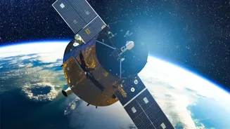
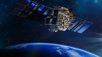
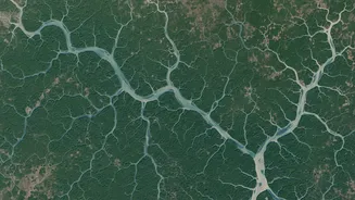
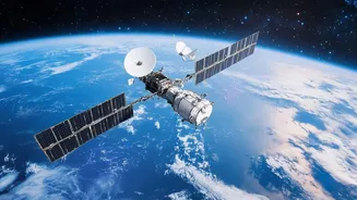
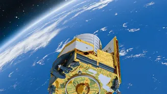
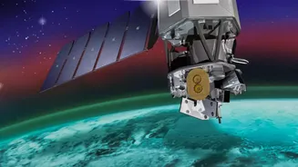
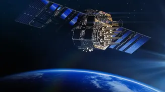
High-resolution satellite technology is changing the game. Instead of relying solely on ground surveys, scientists can now use 'eyes in the sky' to assess the forest's health and growth on a massive scale. Technologies like LiDAR (Light Detection and Ranging) and multispectral imaging from satellites like the Sentinel series provide incredibly detailed data. LiDAR works by bouncing laser pulses off the forest canopy and the ground below, creating a precise 3D map of the forest's structure, including tree height and density. Multispectral imagers, on the other hand, capture light across different wavelengths to measure things like the greenness of leaves, which indicates photosynthetic activity and overall health.
How Satellites See Carbon
Satellites don't measure carbon directly. Instead, they measure proxies for biomass—the total weight of living organic material like trunks, branches, and roots. By combining data on tree height, canopy area, and vegetation density, scientists use established formulas, known as allometric equations, to estimate the total biomass. Since plants are roughly 50% carbon, calculating the total carbon stock is a relatively straightforward next step. For example, a recent study on the Sundarbans used data from Sentinel-2 satellites to estimate the Leaf Area Index (LAI) and Gross Primary Productivity (GPP), which are direct indicators of how much carbon the forest is actively capturing through photosynthesis.
What the Data Is Revealing
This high-tech approach provides a dynamic and detailed picture of the Sundarbans' health. Studies using satellite data from 2019 to 2023 have shown significant yearly fluctuations in carbon uptake. For instance, the forest sequestered an estimated 65 million tonnes of CO2 equivalent in 2020, but that figure dropped to around 43 million tonnes in 2022, likely due to climate-related stresses like cyclones and increased salinity. While this highlights the forest's vulnerability, the data also confirms that even in stressful years, the Sundarbans remain a powerful carbon sink. This ability to continuously monitor the entire ecosystem helps identify areas that are recovering well versus those that are struggling, allowing for more targeted conservation efforts.
The Business of Blue Carbon
Accurate measurement is the foundation of the growing 'blue carbon' market. Blue carbon refers to the carbon captured by coastal and marine ecosystems. To sell carbon credits from mangrove restoration, project developers must prove, through rigorous Measurement, Reporting, and Verification (MRV) systems, that their efforts are genuinely removing carbon from the atmosphere. High-resolution satellite data provides the credible, large-scale evidence that investors and carbon markets demand. This builds trust and can unlock significant funding for conservation, turning ecological restoration into a viable economic activity that benefits both the climate and local communities who depend on the forest.